Style

I am sick, and forced to admit it. I still do not connect the stress to it all, but ok, does it really matter? I sleep in for two hours and feel almost human. I do not eat.

I leave the B&B and head in the direction of Splügen, thinking to ride at least part of our route today. I turn around after a bit and pull out the iPhone, finding the Gyger Bed and Breakfast in Thusis, which will let me in at 14.00. I ride around a bit more, revisiting the Via Mala, and then plop myself in front of the hotel and order a peppermint tea. I stop at the local market and get a yoghurt and some crackers. At 13.45, I inquire about my room, get my key, and promptly fall asleep. When I wake up several hours later, Thusis is closed for the weekend. I take a walk and find a kiosk near the train station, buying some sparkling water and a yoghurt drink. This is starting to look like a pattern. I sleep for most of the night, and when I wake up, I am still not in great shape, but OK to ride. I eat some of the French gluten-free bread that I picked up a few days before. It is rather fibrous, which I think might be good. I have it strapped to my pack as I have no room inside.

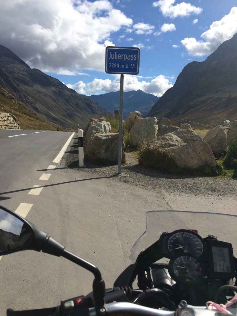
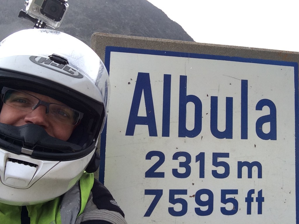
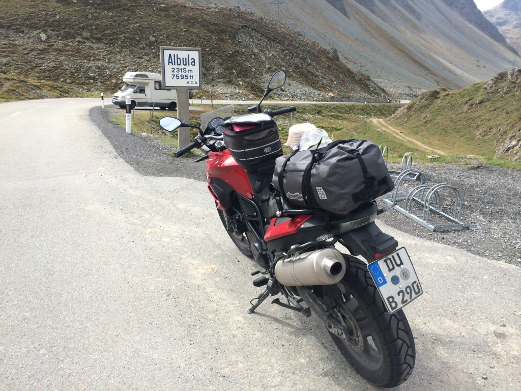
I make my way to Tiefencastle on the 417, giving up Splügen. We have planned to re-ride some Italian passes and spend a day on Stelvio and Umbrail, possibly including Gavia. This does not happen for me. I give it up and decide instead to simply ride Julier and Albula so that I can join my partner, who is riding that section, later after Davos. I take the 3 south and follow it to the 27 in Silvaplana, then the Albulapassroad, and finally rejoin the 417.

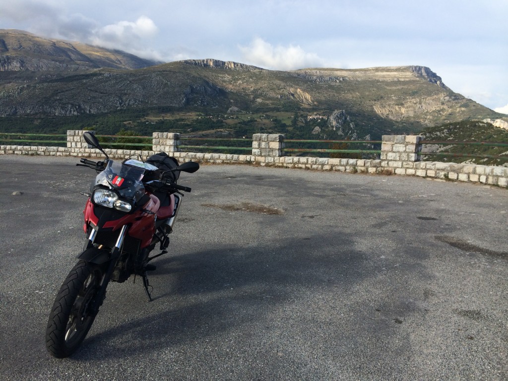
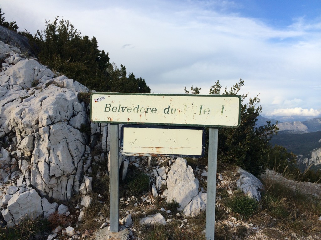
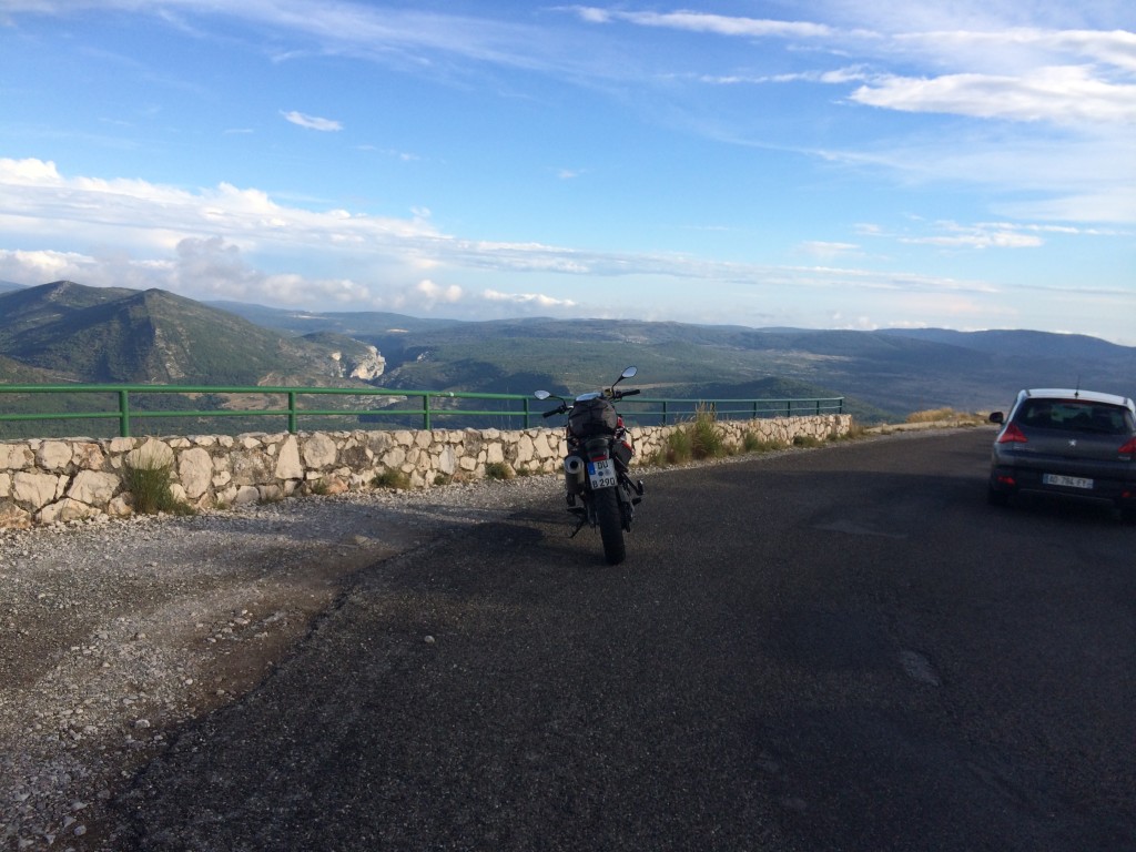
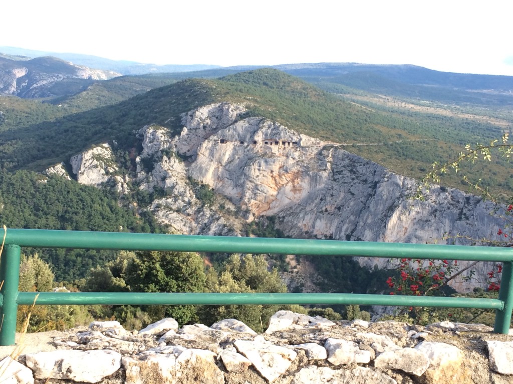
IMG_1293

IMG_1294

IMG_1296

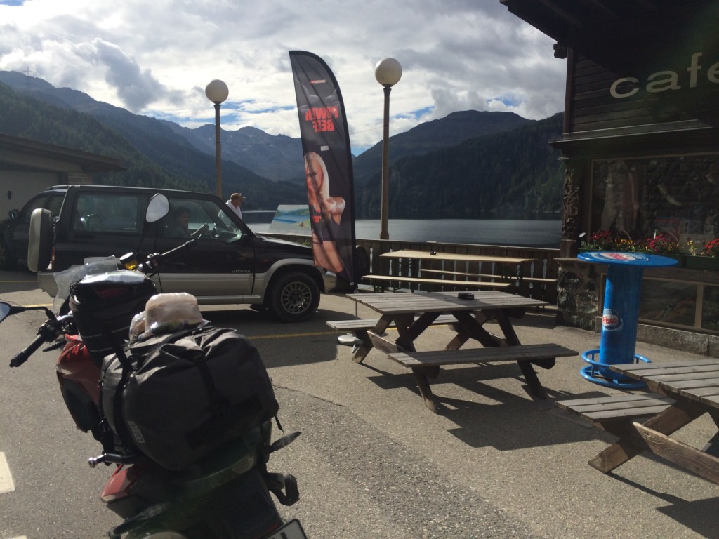
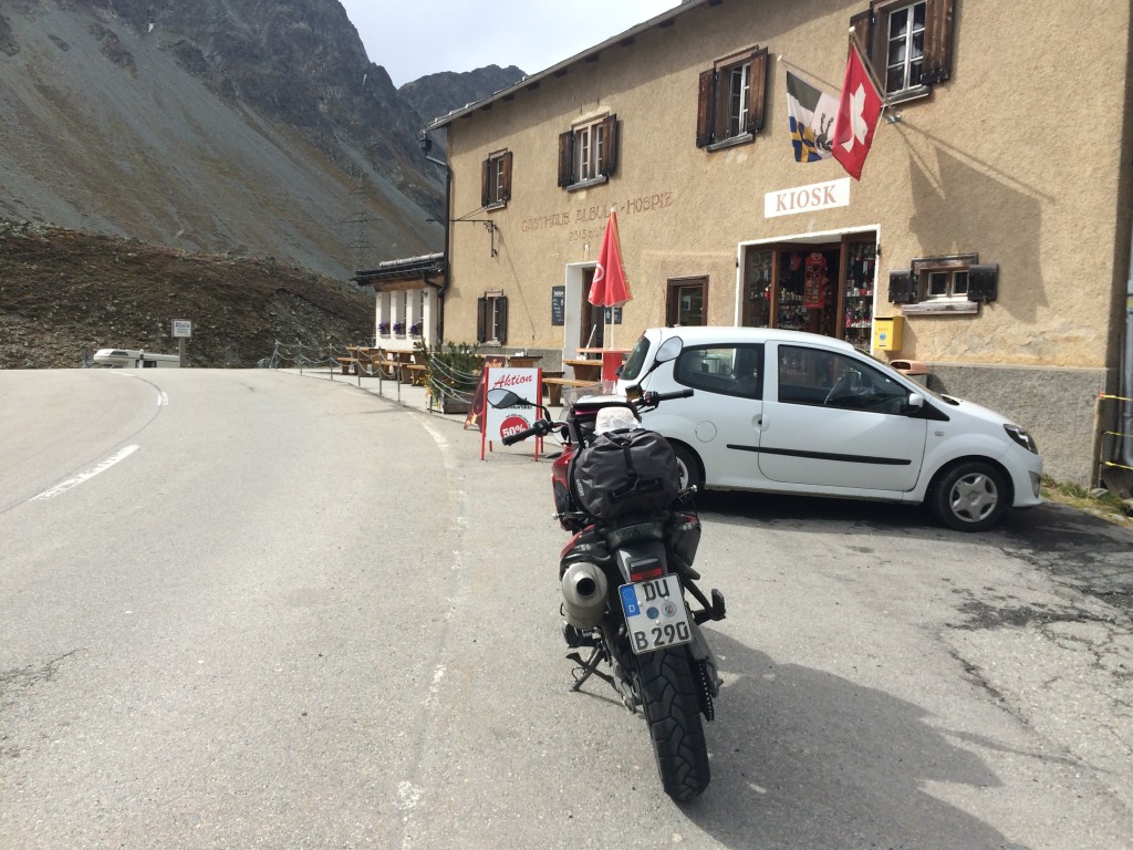
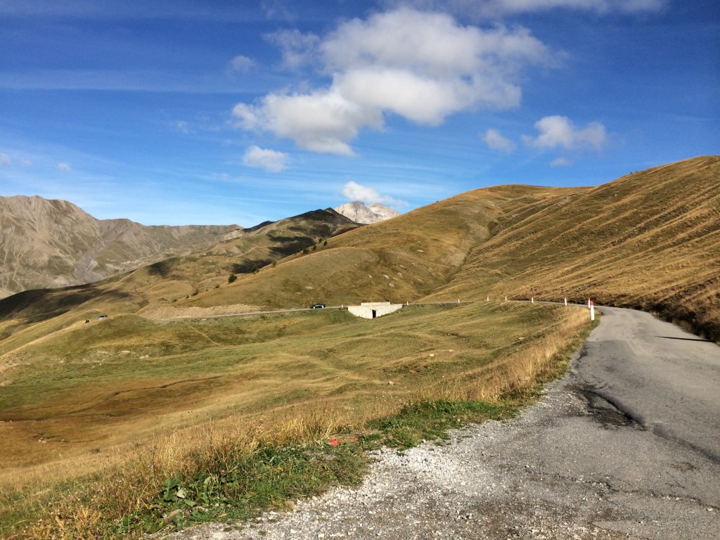
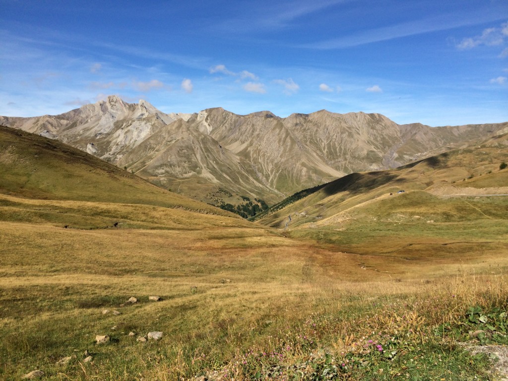
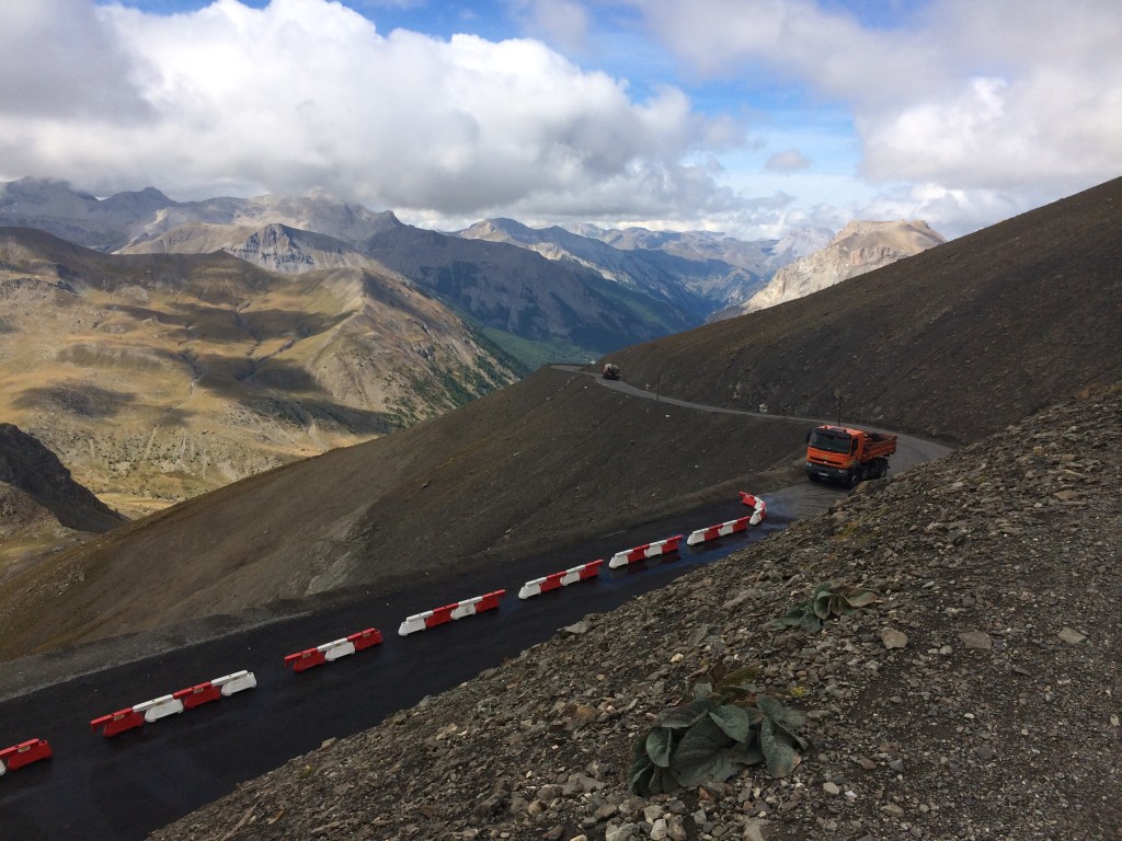
Julierpass is light and easy. The Marmorerasee is just as beautiful this time as last. Albula is interesting. In some places, wide and well-built, in others, basically a sort-of paved cattle path. And under construction, too. The construction in both France and Switzerland has been a constant. It seems as if every 20kms, we have been stopped to wait for a washout repair or replacement of some so-called barriers.

IMG_1299

IMG_1298

IMG_1297

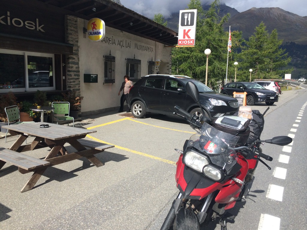
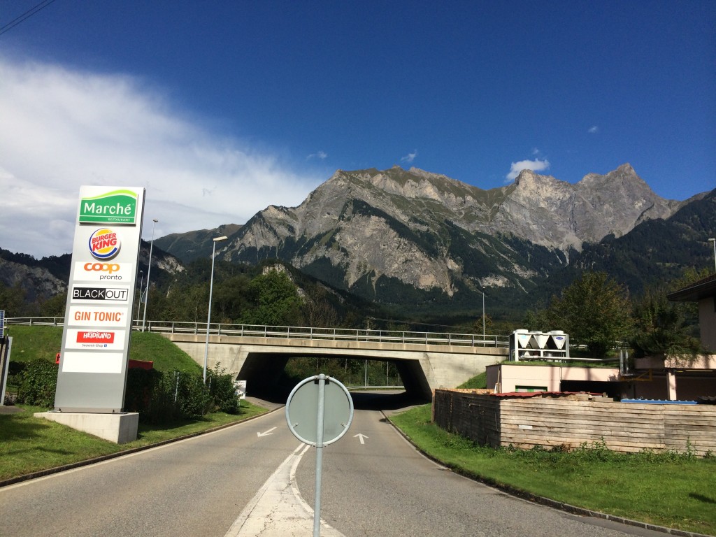
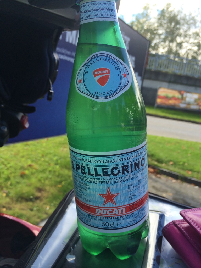
After descending Albula, I pick up the 28 in Davos and ride to Landquarrt and Mastris, where I find Tardisstrasse. What will happen there? Nothing exciting, it’s an outlet mall, characteristically open on Sunday so that people have a reason to go there. If it’s anything like the one in Roermond, NL, prices are hardly “outlet” as we know the concept in the US. I stop at the Heidiland rest stop and wait for my partner, grabbing some SP at the shop. SP+Ducati? That’s Italian! And Heidiland… How can I not stop? The ghost of Johanna Spyri will come after me if I don’t. The loudspeakers in the parking lot are yodeling, it’s a little weird. My partner is along shortly and we ride north on the A13, getting off to ride around a traffic circle in Lichtenstein and put on rain gear – a strong storm is blowing in. I can now check Lichtenstein off on the list of EU countries I have visited on a motorbike.

IMG_1300

IMG_1304

IMG_1305

We find the Hotel Sinohaus-Linde in Lustenau and dinner at the Restaurant Olive around the corner. I finish the French bread with my salad.

From Chamonix, all looks good. The sun is visible, and the morning begins with a good breakfast and we are off to Martigny.

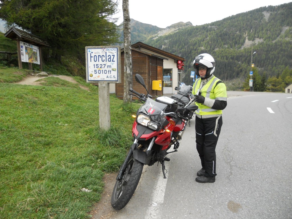
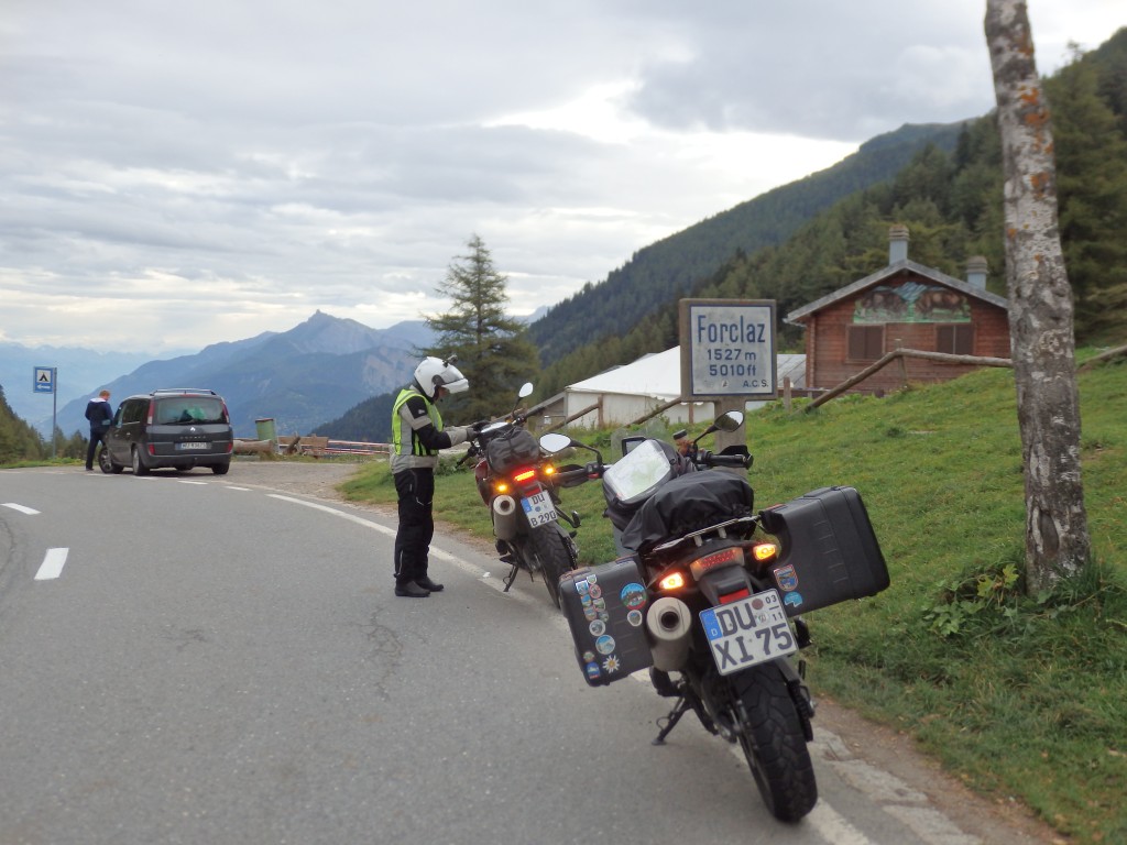
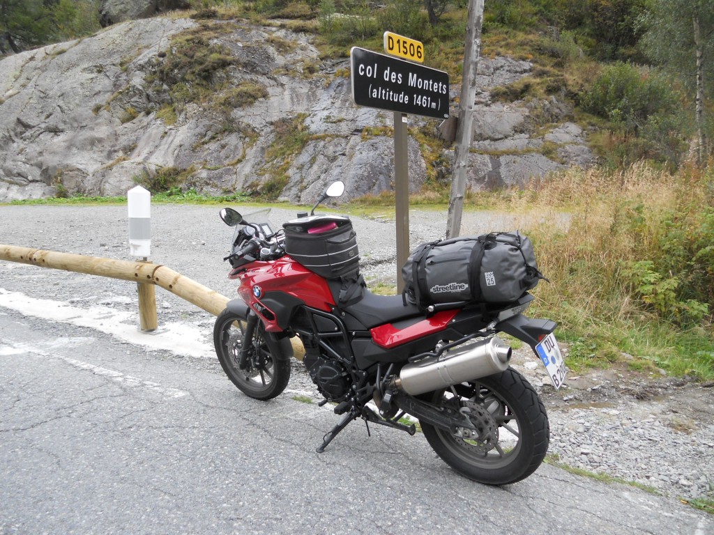
We cross the Col des Montets, a low pass typical of France. Then it is on to the Col de la Forclaz, a wider, more open pass that is higher up. We are enjoying a bit of sun and the weather is good. We cross into Italy and pick up the 203.

DSCN4468

OLYMPUS DIGITAL CAMERA

Martigny is a beautiful sight – the terraces of vines remind me of a mix between the Wine Road of Italy and the Rhein valley near the Lorelei.

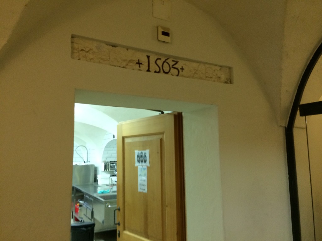
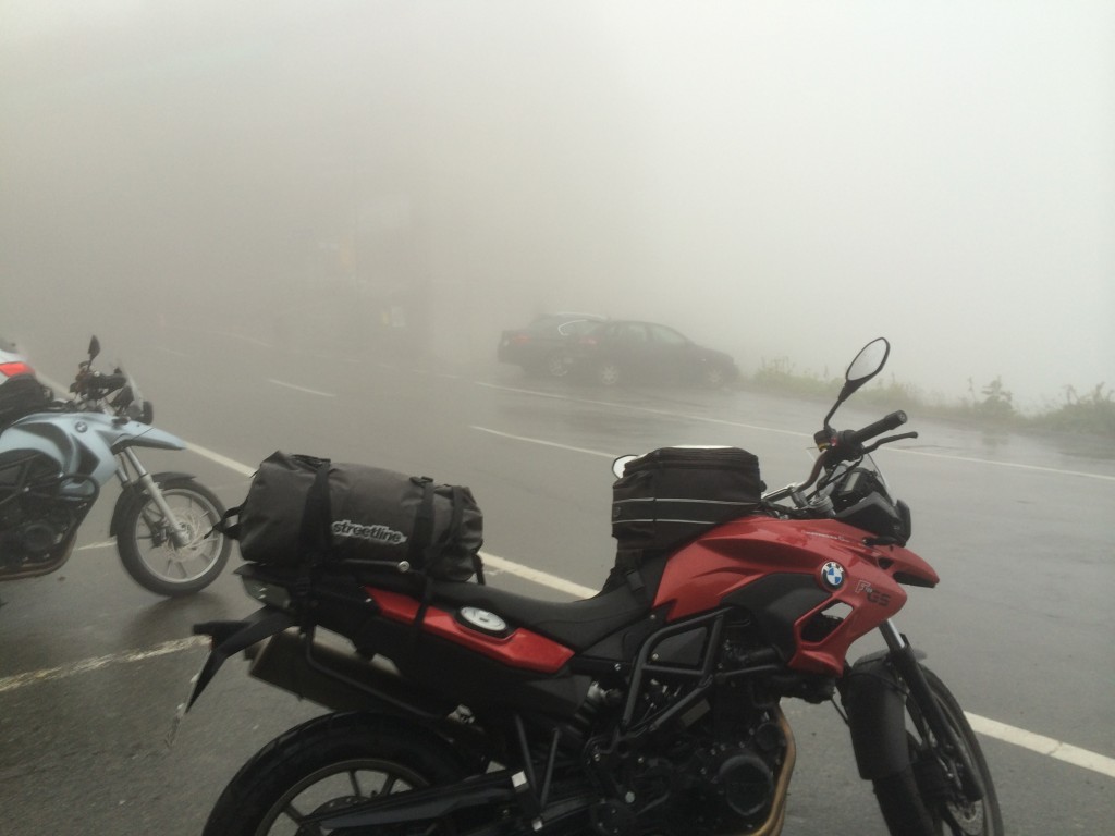
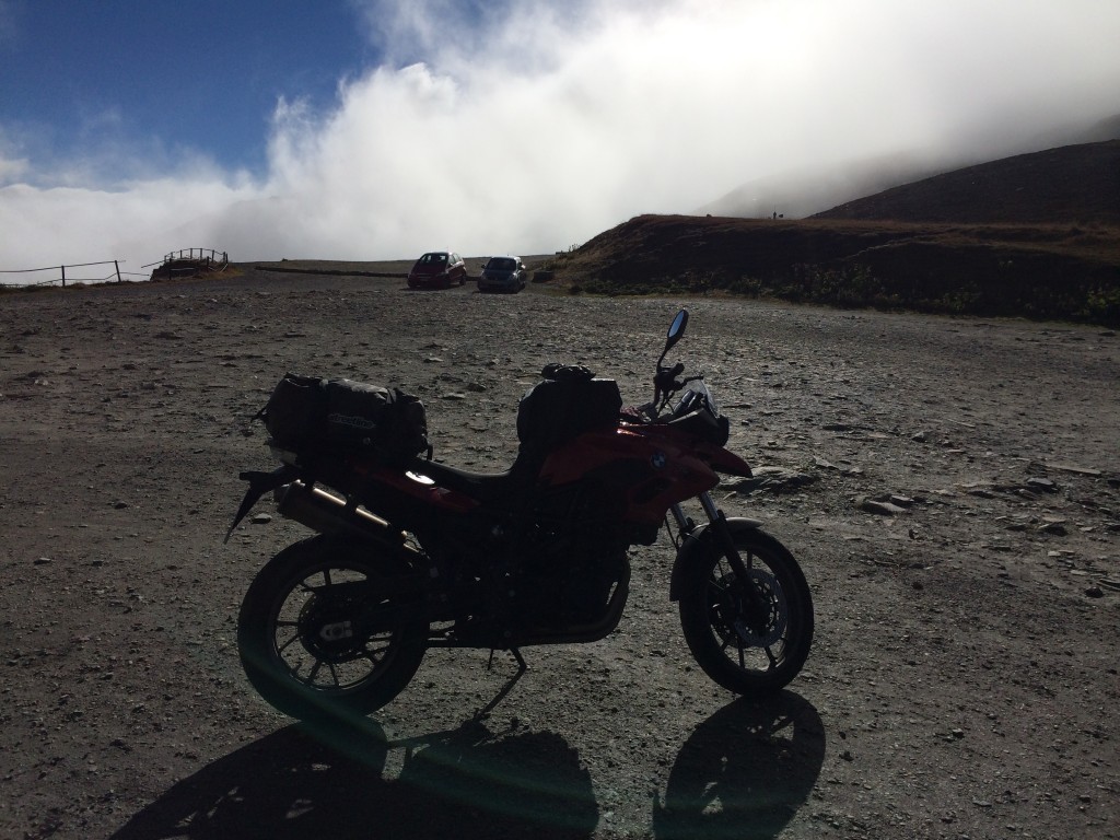
As we pick up the 21, I miss the turn for the Col de Champex, and we continue on to the Grosser Sankt Bernhard. My riding partner is very unhappy and makes it known, but does not want to return to the pass, something I would like to do. The Grosser Sankt Bernhard, or Col de Grand Sankt Bernard in French, is not a difficult or particularly technical pass like its smaller brother, but it is far cloudier. The clouds at the top are so dense that we are unsure which direction we came in from. It is the oldest known pass in the Alps and separates Mount Blanc from Monte Rosa. A hostel of some sort is documented back to 1049. We stop for a hot drink, I visit the cloister built in 1563 built to honor Saint Bernard of Menthon as a travelers’ hostel. The descent is foggy and rainy into Aosta. In Saint-Rhémy-En-Bosses, we pick up the 27 and ride into Aosta. In fact, then entire Aosta valley is cloudy and rainy and redefines the pilots’ term “low ceiling”.

IMG_1272

IMG_1264

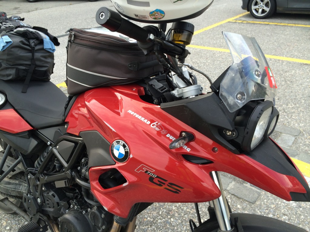
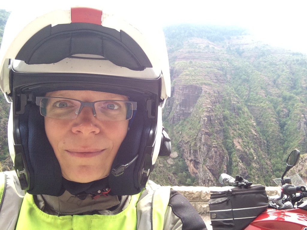
From Aosta, we rejoin SS26 and ride the Kleiner Sankt Bernhard in the opposite direction. I fall in the early hairpins, distracted by some personal thoughts. Thankfully, the bike is only cosmetically (although expensively) damaged, and I ride to the top to collect myself, my thoughts, and my ADAC card.

IMG_1275

The ADAC is the German version of AAA. I joined when I lived in Germany, and keep my membership current mostly because the monthly magazine is so good. It is a window into the German driving psyche and motor culture. Today, a call nets me the address and phone number of a nearby Honda shop who will gladly check the bike for me. I also check BMW for a nearby dealer – the closest is a shop in Sion, Switzerland. The Honda shop will have to do for now. I call ahead to announce myself, and the person at the shop speaks just enough moto-english to get the job done. He will be there until 19.00, too. I have five hours to get there, it will only take about one. We descend the pass and I continue on the D1090 while my parther heads north on the D902.

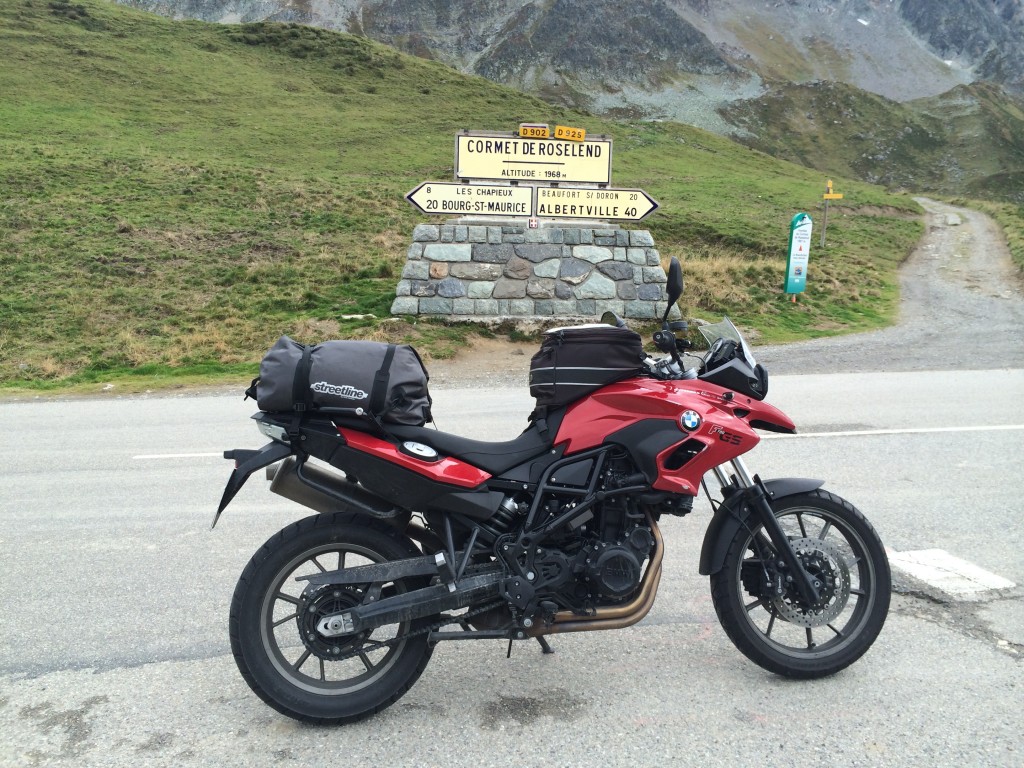
In Aime, I find Alpes Moto Cycles, and inside, a gentleman who charges me 15€ to give the fork a sharp poke and check that things are sufficiently true to continue. I’ve packed a much smaller tool set than normal, and have a T40, a T50, and a T55, but not the T45 required to loosen the fork and insure it is not stressed. Not really needed, thankfully. He sends me on my way with instructions to get my head back in the game and to ride my own ride. Oh, and check with BMW, because after all, he is only a Honda/Yamaha/Kawi shop, and this is a German bike. I want to kiss him. I turn back to fuel up and find the D902 and the Cormet de Roselend.

IMG_1273

Just before the pass, the D902 becomes the D925. The road runs past the Lac du Roselend and over the Col de Mèraillet and continues north. After Mèraillet comes Col de Saisies, a big surprise. I turn onto the D218 and begin the ascent. Saisies is a festival of curves. It features every imaginable type of turn, from long sweepers to tight switchbacks that do not let up. It is challenging and fun, and I enjoy it immensely in spite of the day’s earlier events. At the top is the typical carnival atmosphere of an Alpen ski resort town, although at this time of the year, completely empty. The gentle northern ramp brings me to Notre-Dame-de-Bellecombe and the D1212, which I take east.

Before Combloux, I turn right onto the D909, and then rejoin the D902 in Saint-Gervais-le-Bains. I pick up the D1205 in Le Lac and head to Martigny as the day is closing. As the sun is just starting to set, I cross Col de Montets and Col de la Forclaz again and ride into Martigny to see thousands of little streetlights twinkling. It is a beautiful sight, and while I am tired and need to find a hotel quickly, it is quite inspiring and I am glad I have come as far as I have and get to see it. The aromas from the vinyards are strong as I descend into the city. Once in town, I take out my trusty iPhone and pull up booking.com – the Motel des Sports is not cheap, but also not expensive. They offer me garage space for the bike and WiFi in the restaurant, too. I phone home to decompress a bit, then sleep well.

DSCN4464

BMW will open at 8.00 in the morning, and I plan to be there right on time.

Leaving the Refuge Napoleon, we have more fog. Prior to checking out, I discover tshirts in the bottom drawer of the souvenir cabinet – while the GS logo ones are all size way-too-big, this one is just perfect.

IMG_1312.JPG

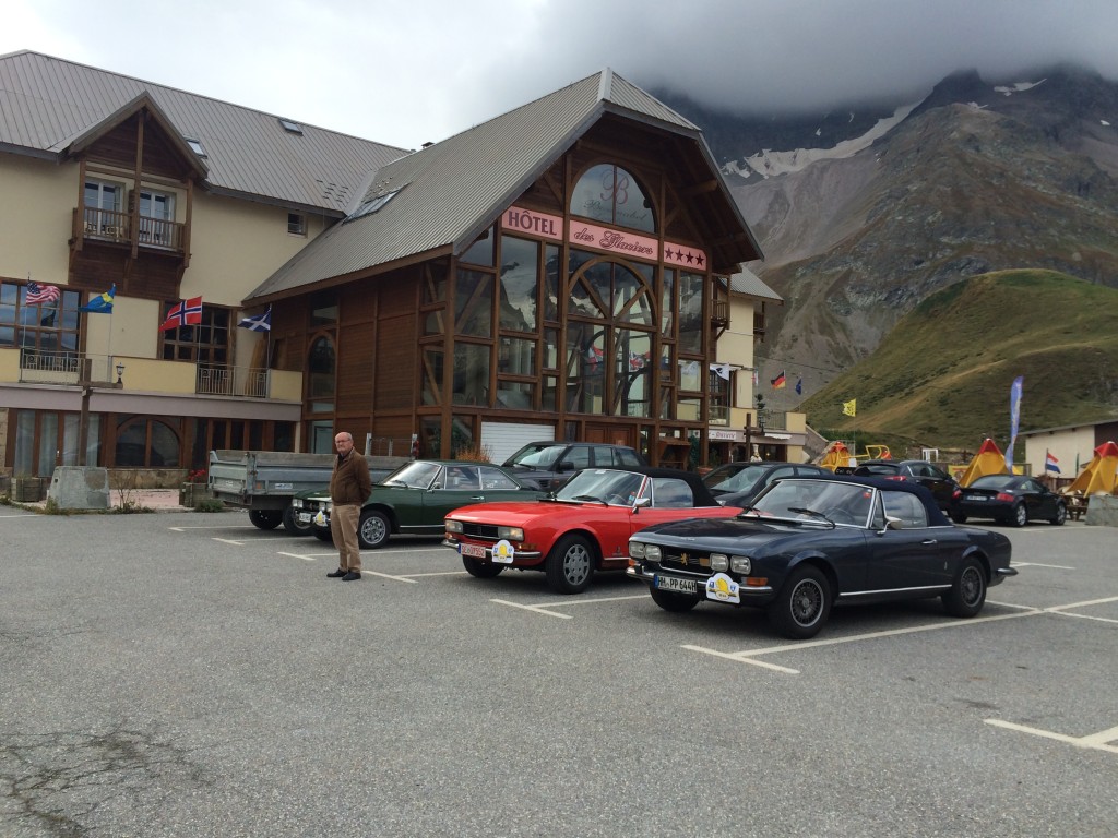
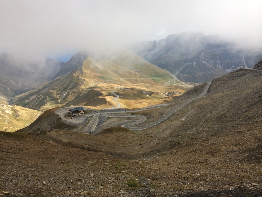
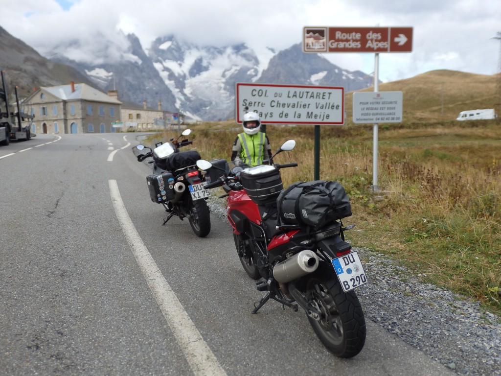
We follow the D902 to Briancon, and turn north onto the D1091 to Col du Lauteret and Col du Galibier. Galibier is a stone’s throw from Lauteret, where we have found some Peugeots on a rallye.

IMG_1187

IMG_1188

IMG_1195

OLYMPUS DIGITAL CAMERA

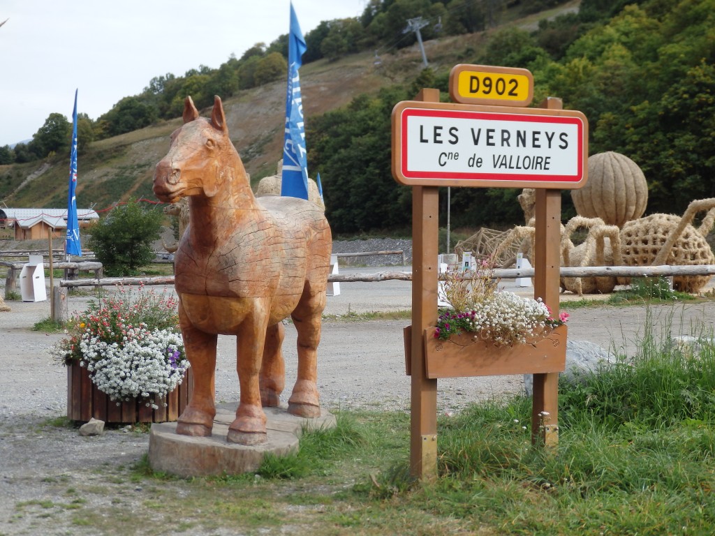
Near Valloire, we find giant straw sculptures.

OLYMPUS DIGITAL CAMERA

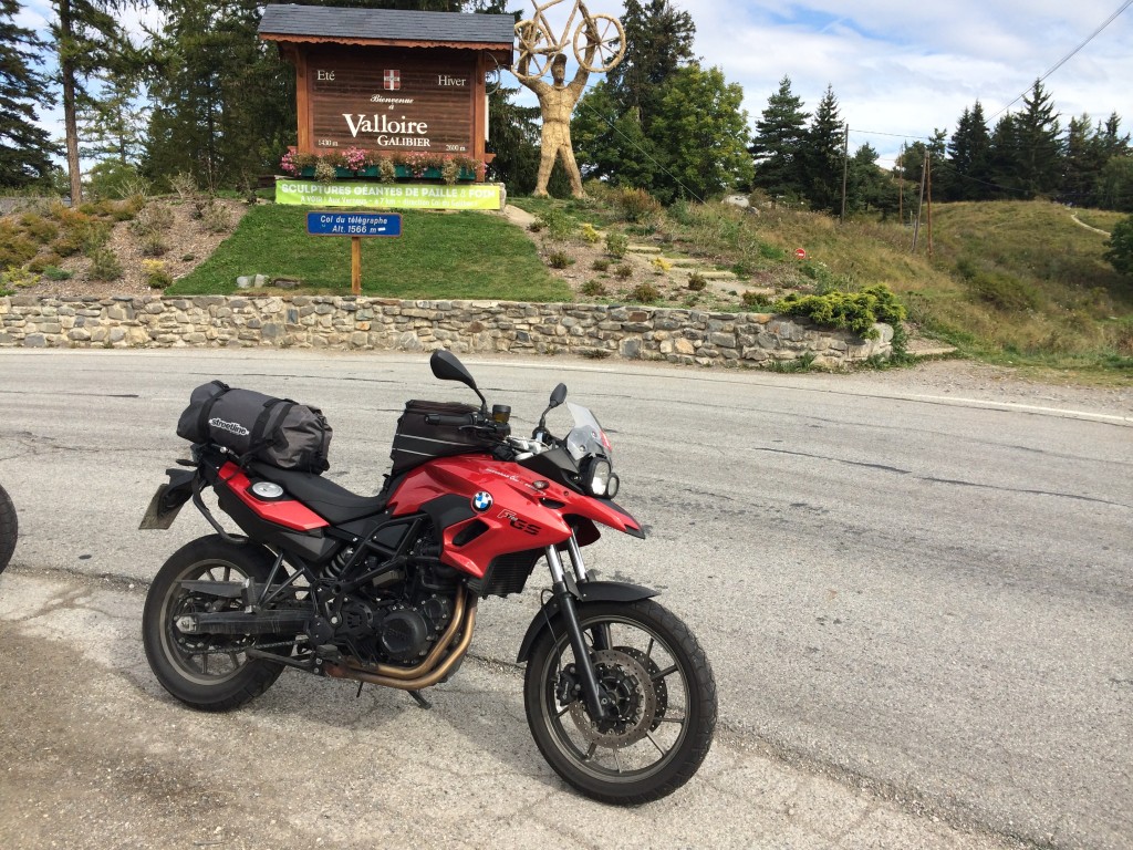
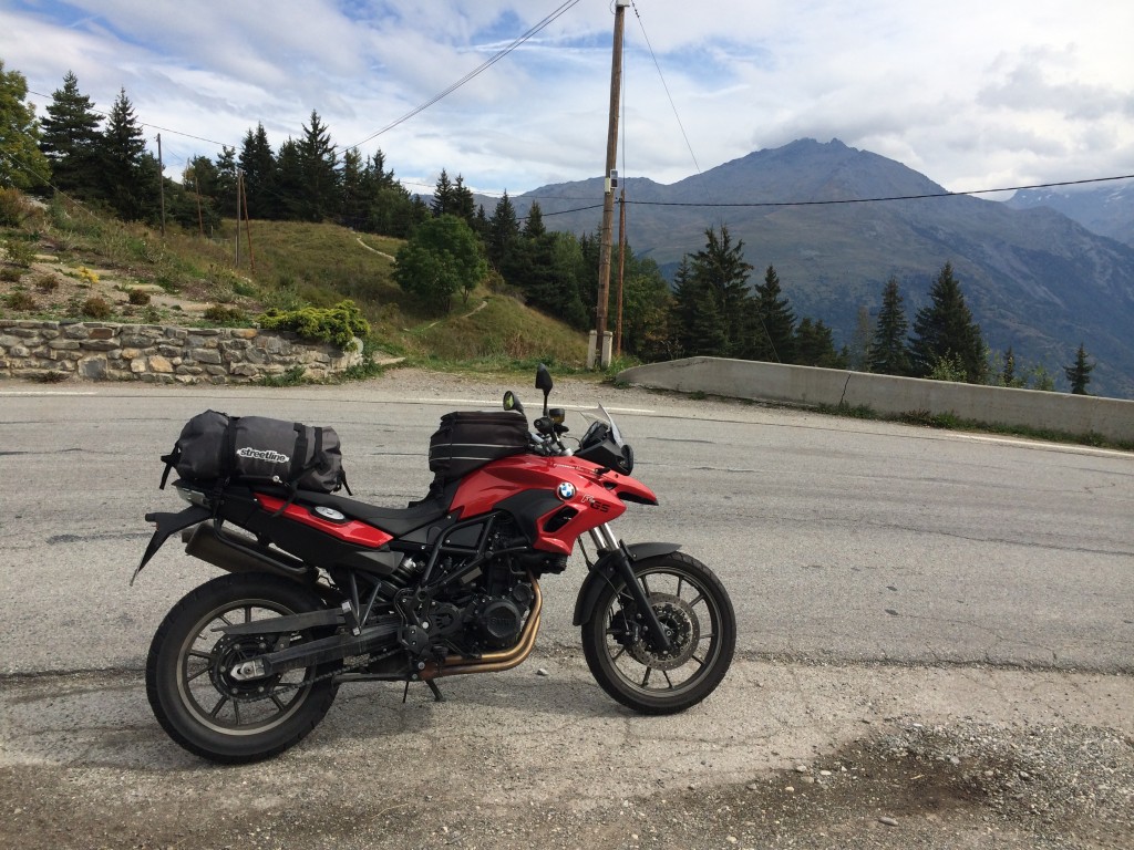
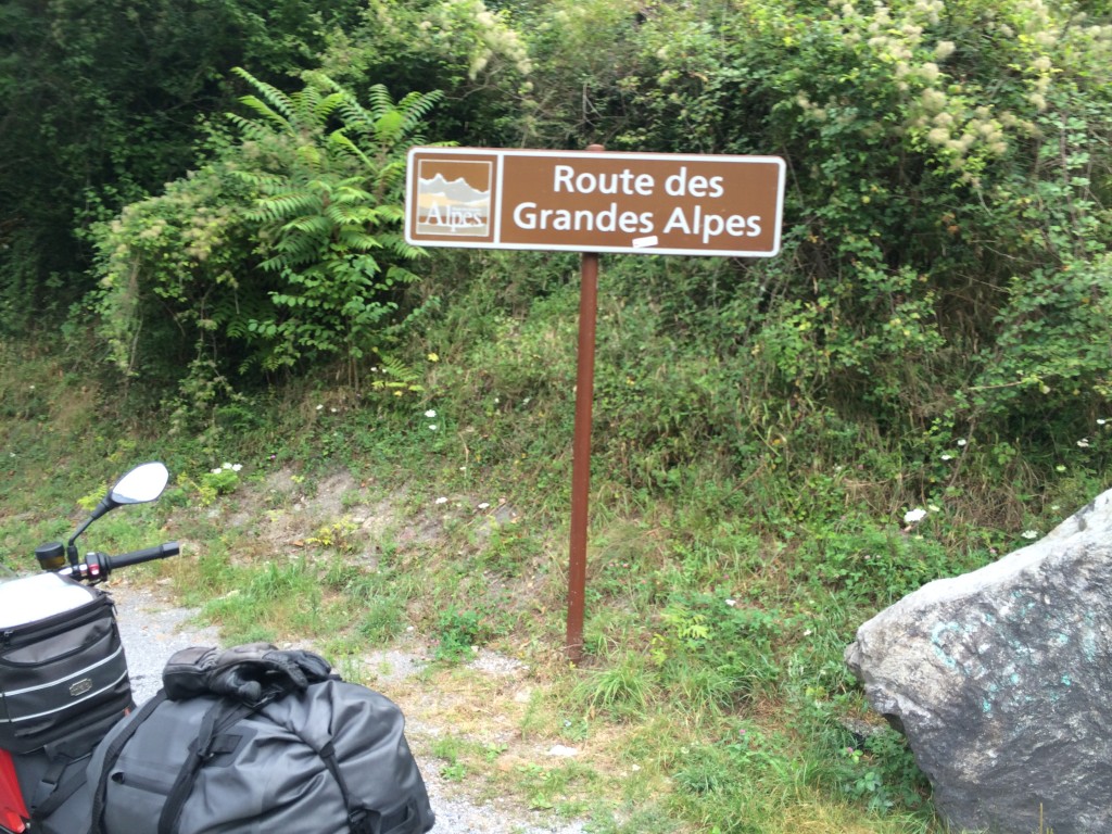
Descending the Col du Galibier, I have maps again! Yay! We continue on the D902, still the Route des Grande Alps, and cross the Col du Télégraph. This is a little pass that counts only in the list. With little to see, we seek stickers, but no long pause. We set off again on the 902, turning off at Saint Michel du Maurienne onto the D1006.

IMG_1199

IMG_1198

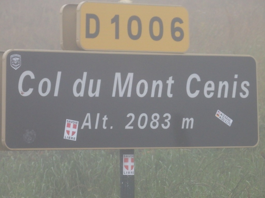
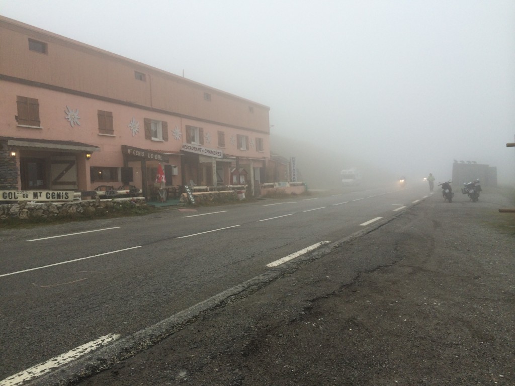
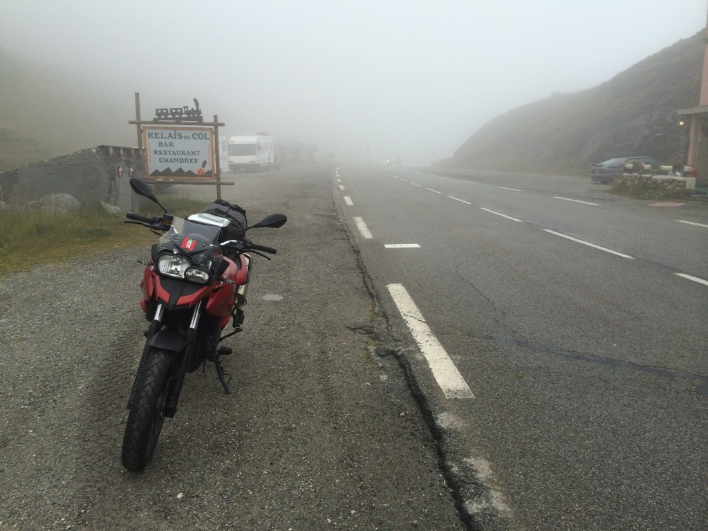
In Lanslebourg- Mont-Cenis, we turn off onto the reappearing D902 to ride up to Lac Mont Cenis. More clouds and fog. Very disappointing from a scenery perspective. Rather than continuing to the lake, we stop at the pass and have lunch in a café that smells of gas and cream sauce. The hot food is welcome, and decidedly not Provencal.

OLYMPUS DIGITAL CAMERA

IMG_1210

IMG_1202

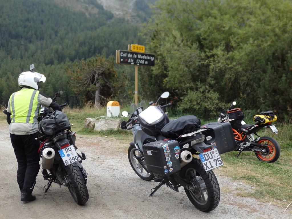
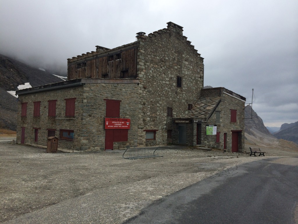
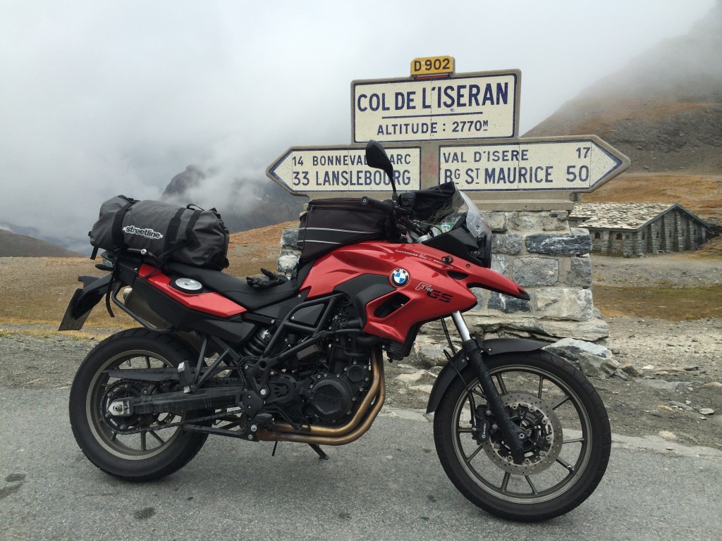
Continuing north on the D902, we cross the lesser Col de la Madeleine (1746), then continue on to the famous Col de l’Iseran, second highest pass in the Alps and in France after the Col de Bonette. l’Iseran has one of the most photographed pass markers in the Alps, and the stone building on top is just as photogenic as the pass marker. The pass is not terribly demanding, but is steep and offers beautiful views until the clouds hit. The top is covered in wispy fog.

OLYMPUS DIGITAL CAMERA

OLYMPUS DIGITAL CAMERA

IMG_1217

IMG_1214

IMG_1212

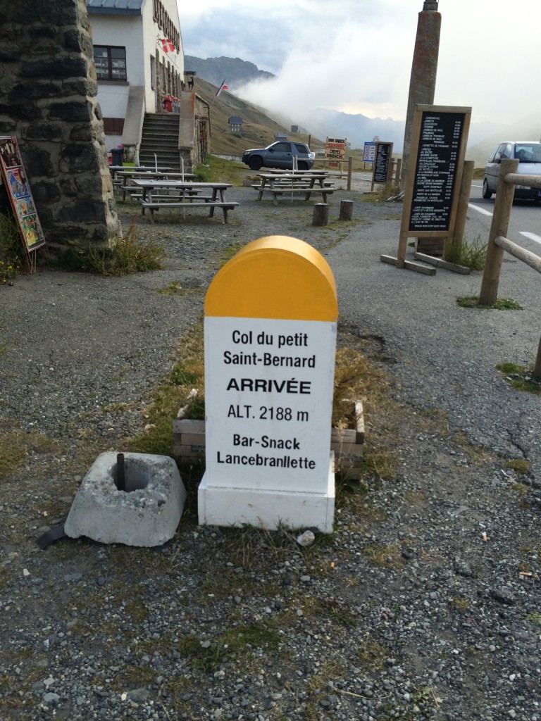
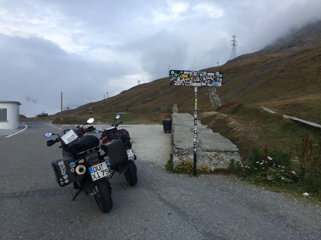
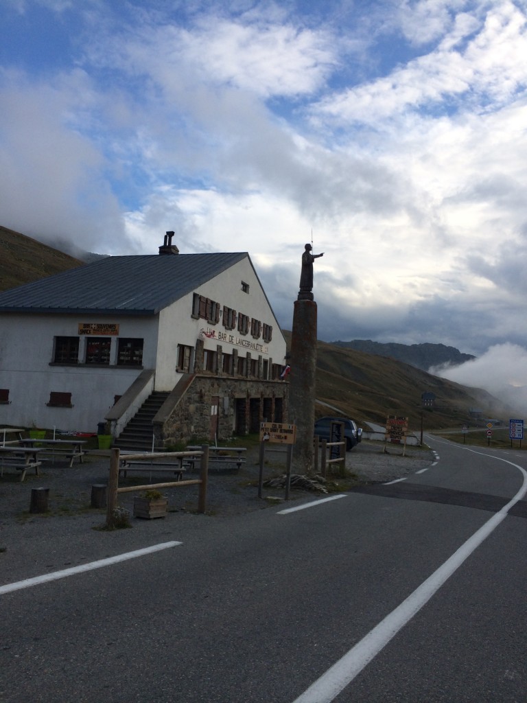
In Seez, we pick up the D1090 and begin ascending the Kleiner Sankt Bernhard. I am delighted to see the French spelling of “Bernard” – in French, the pass is Col du Petit Saint-Bernard. My older son is named Bernard, for Bernard of Clairvaux instead of Bernard of Menthon, but whatever. I am on the first of the three “Bernard” passes: Kleiner, Grosser, and San Bernardino. This is a delightful technical pass  with rhythm that brings us over the Italian border to Strada Statale 26 and Pré-San-Didier, where we pick up SS26DIR and enter the Chamonix-Mont Blanc tunnel. The 11.6km tunnel links Italy back to France and allows significant goods traffic to cross where no roads exist. On the Kleiner Sankt Bernhard, I find some of the French “Seitensicherung” – the portable electric fences used by farmers to keep the sheep and cows off the road.

IMG_1258

IMG_1259

IMG_1261

DSCN4461

In Chamonix, we find lodging after consulting the i – the information board just outside of town. While Chamonix is largely full of multi-star spa resorts, a few smaller guesthouses exist and are easy to find if you know what to look for. Our tiny room off the D1506 on Route du Bouchet at Hotel la Source has a balcony and a private bath, which is excellent for the price. Dinner is light and welcome after the long days’ ride.

Castellane is lovely in the morning. The market is waking up, and so are the riders. I am brave and eat a yoghurt, this works. We pack out of the garage after watching a fish delivery truck turn around inside of it, without coming near the bikes. Either talent or practice, but totally pro.

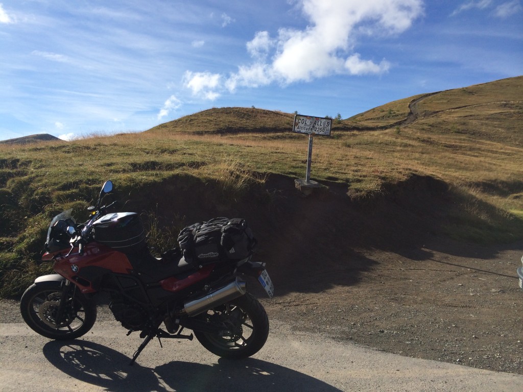
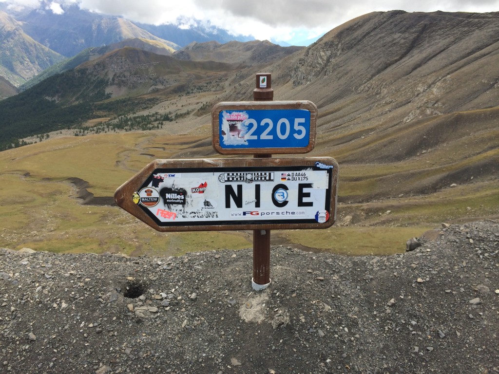
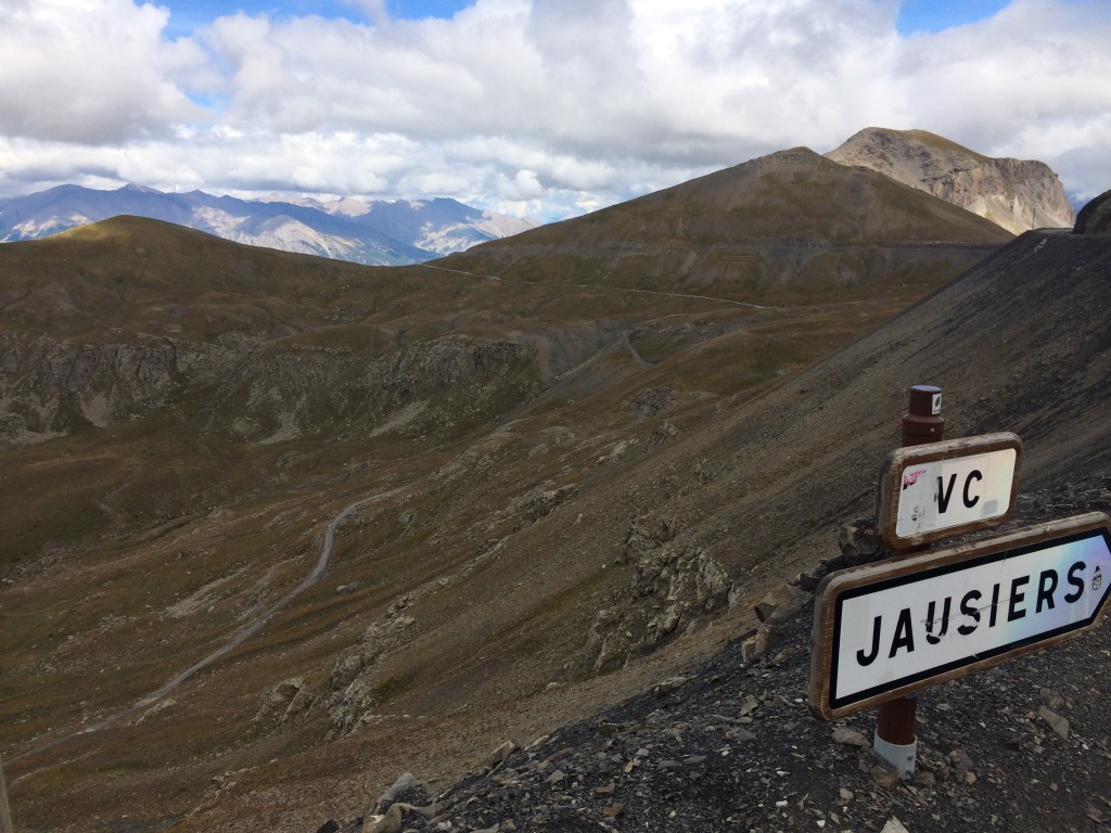
My map fix is working, I navigate from point to point using the well-located directionals. This is a bit of a surprise, I do not expect such completeness from France. We head north on the D955 in the direction of Barcelonette, changing to the D908 near Le Coulet des Fourches. This takes us to the Col d’Allos. We rejoin the D902 in Barcelonette, where it turns into the D900. In Jausiers, we turn off onto the C4 and head for the roof.

IMG_1078

IMG_1096

IMG_1082

IMG_1081

IMG_1077

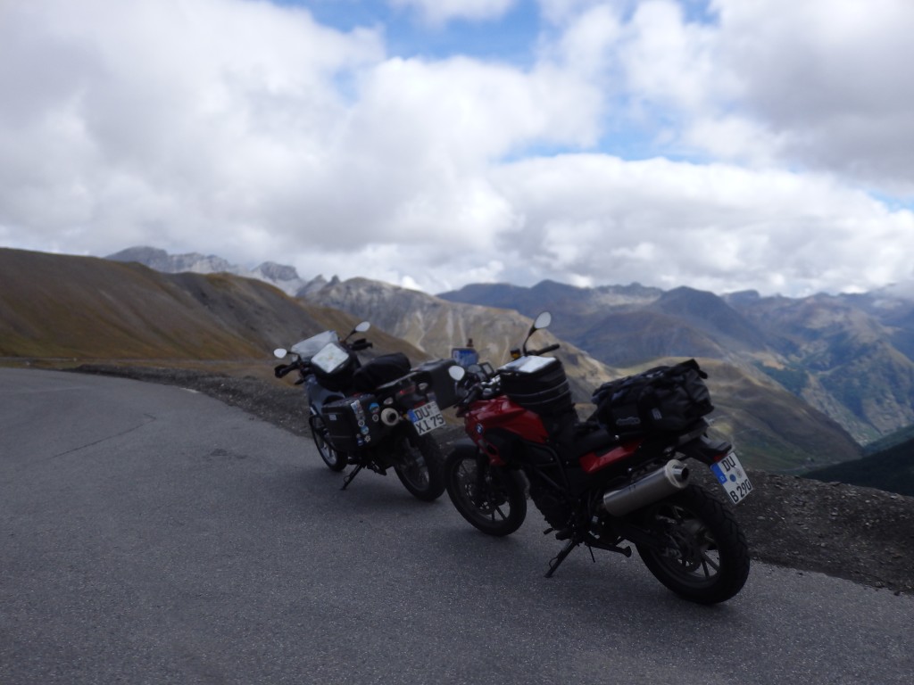
We ride to Col de la Bonette – the highest pass in the Alps – and further out to Cime de la Bonette – the highest paved point in the Alps. Atop Cime de la Bonette is a small observation deck. I walk a bit up to take pictures, the ground is unstable and my boots are not really up for the task. The fog is pressing us, we ride to the actual pass and take some photos. Col de Restefond is on a dirt road to the side, unfortunately, we do not find it on the way and pass it. The road is now the M64. It further changes to the M2205 as we continue the descent.

IMG_1106

IMG_1109

IMG_1115

IMG_1117

OLYMPUS DIGITAL CAMERA

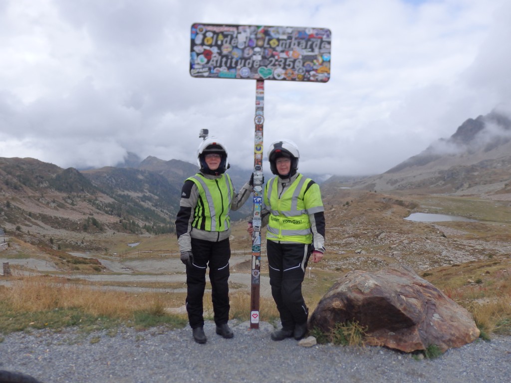
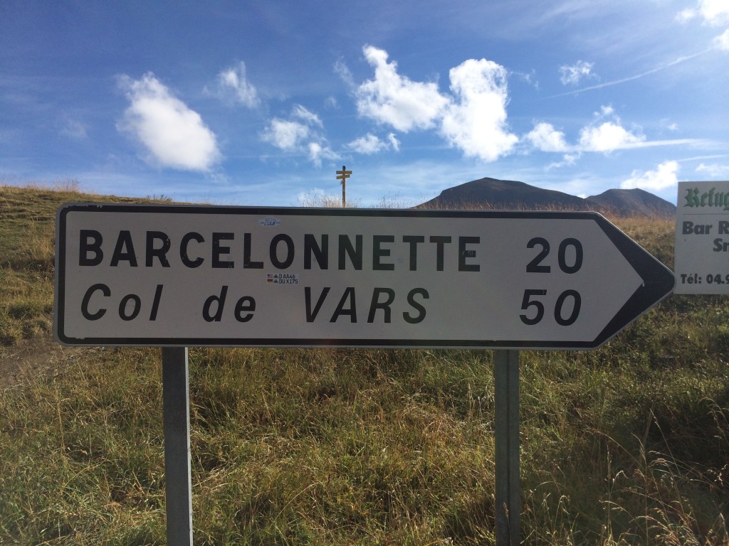
From Bonette, we ride south to Isola where we pick up the M97 to Isola2000 (Isola at 2000m), and on to to Col de la Lombard. At some point, we pass a marker for the Col de Granges Communes, but cannot find it on any maps later. We do not find the old Lombard road, instead take the new one, SP 255, it is a nice ride and not as difficult as noted in the books we have read. I have maps for a short while in Italy. We turn northwest on SS21 north to the French border and Col de Larche. We rejoin the D900 on the French side, and I am Garmin-less again.
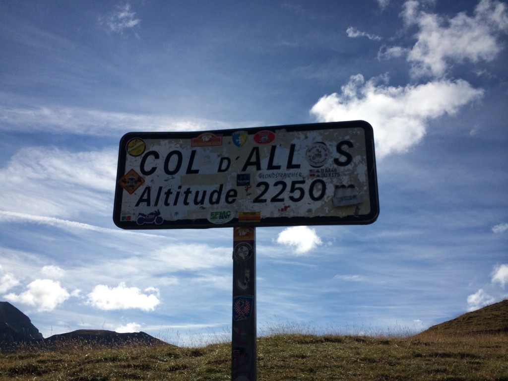
OLYMPUS DIGITAL CAMERA

The D902 appears, we ride north and cross the Col du Vars.

IMG_1142

OLYMPUS DIGITAL CAMERA

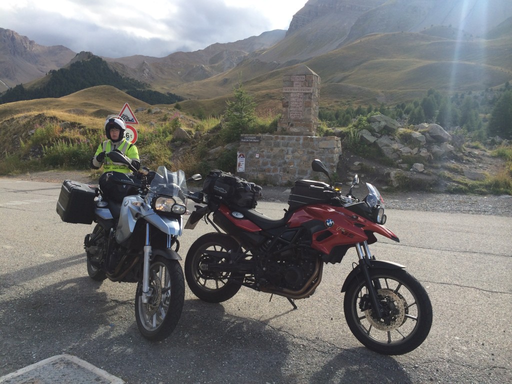
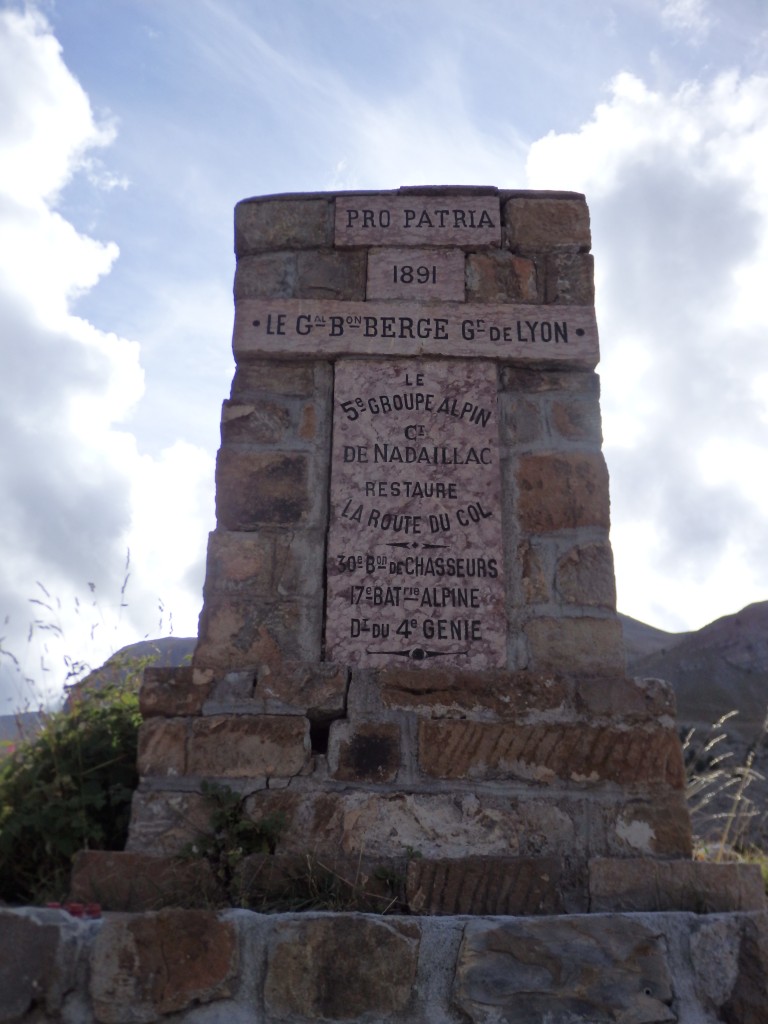
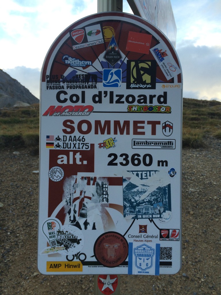
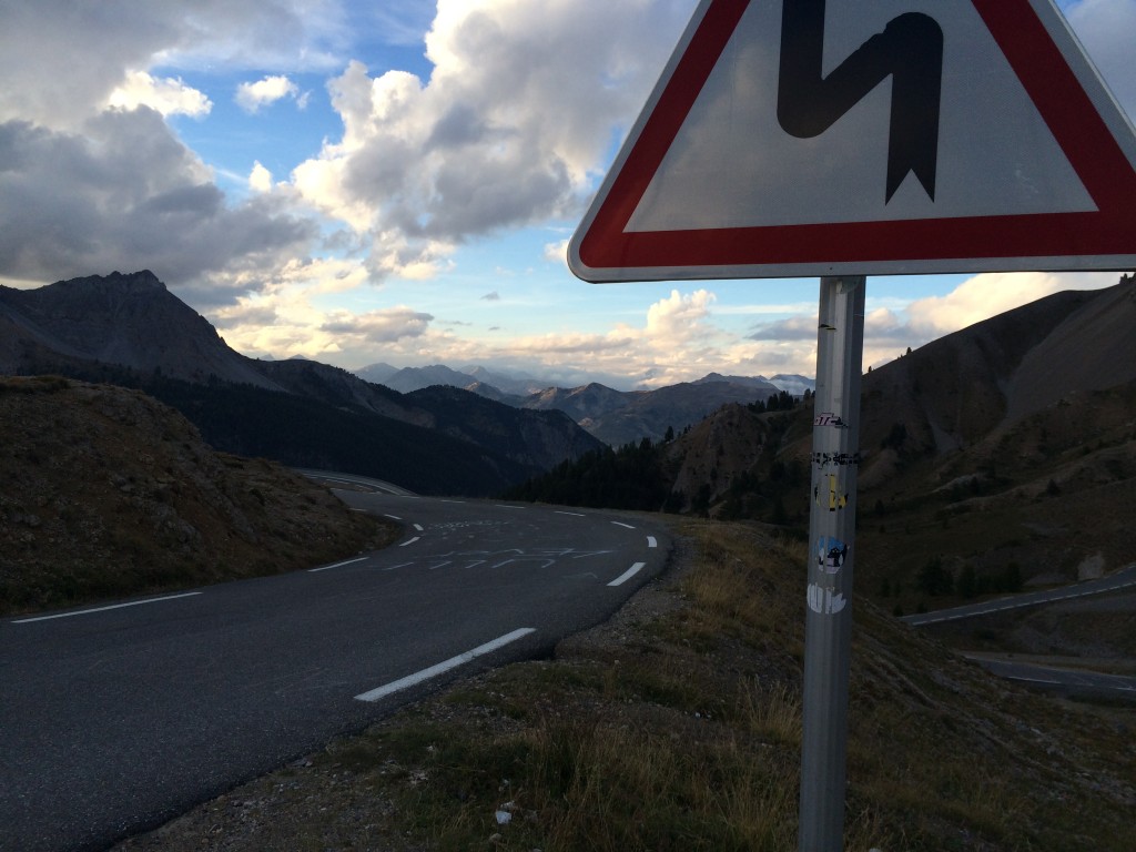
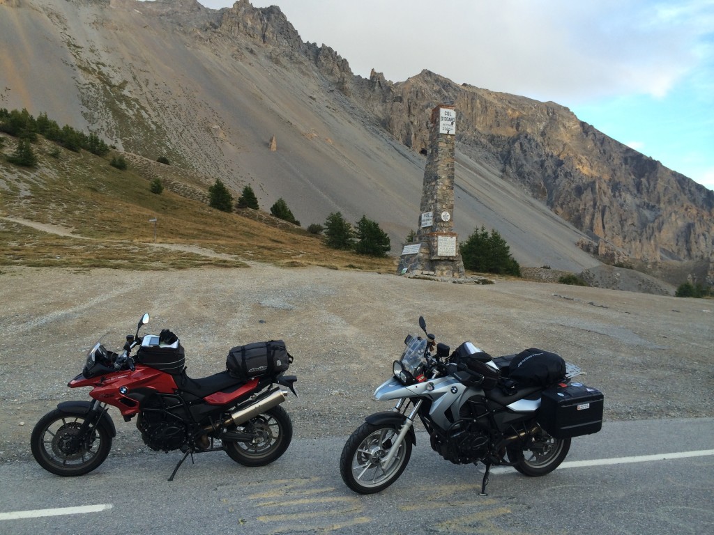
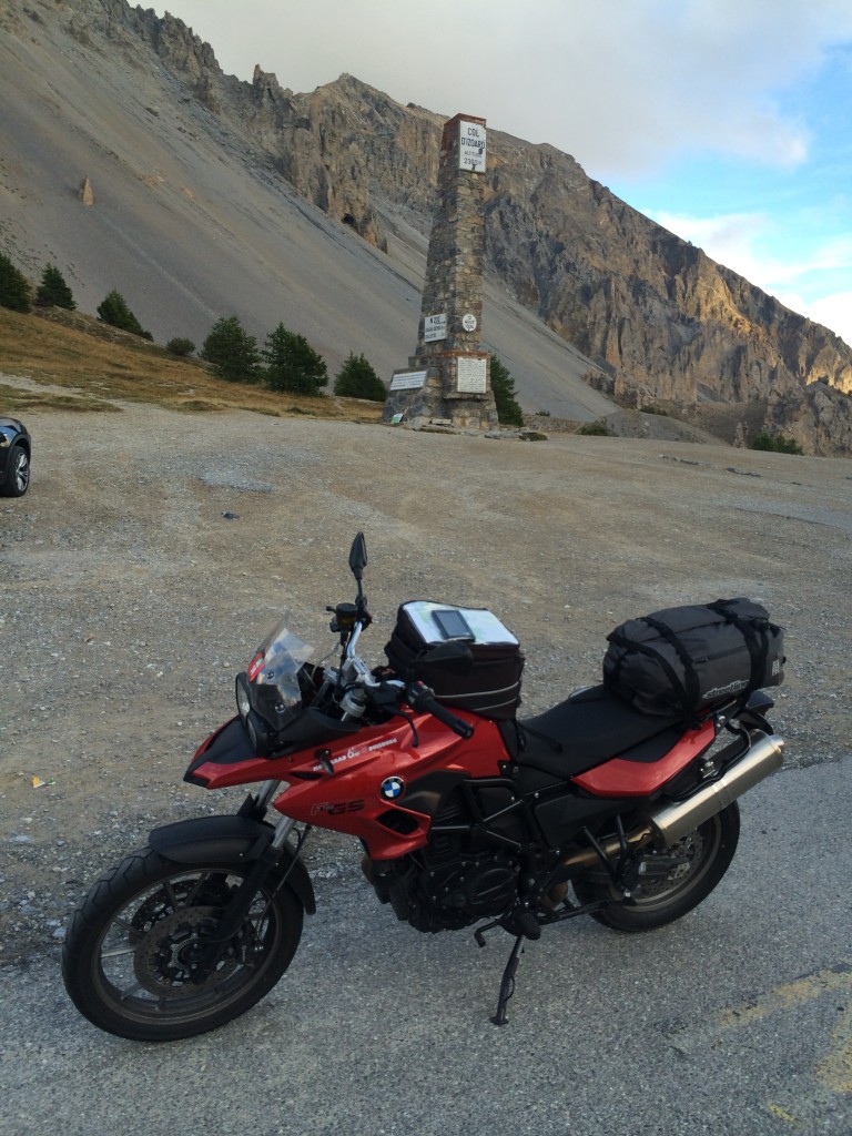
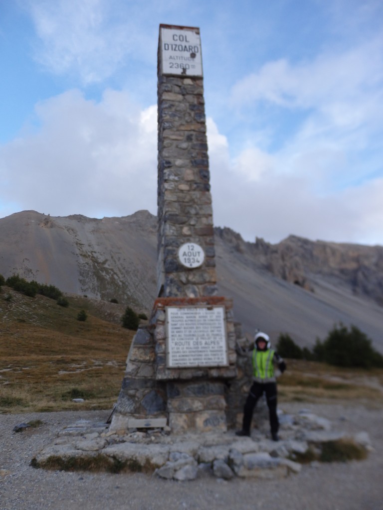
We descend into Guillestre and continue north to Col d’Izoard, well-known from many appearances on the Tour de France. It is easy to see why – Izoard hides its magnitude in a gentle slope and not-overly-technical curves. It is a high pass, one that requires a lot of work. The road surface is painted with inspirational messages to cyclists. We encounter a unique type of bourne – milestone – that has the distance to the top, the slope over the next kilometer, the altitude, and various notes marked on them. At our speed, it is difficult to read them in detail.

IMG_1166

IMG_1155

IMG_1153

IMG_1144

IMG_1143

OLYMPUS DIGITAL CAMERA

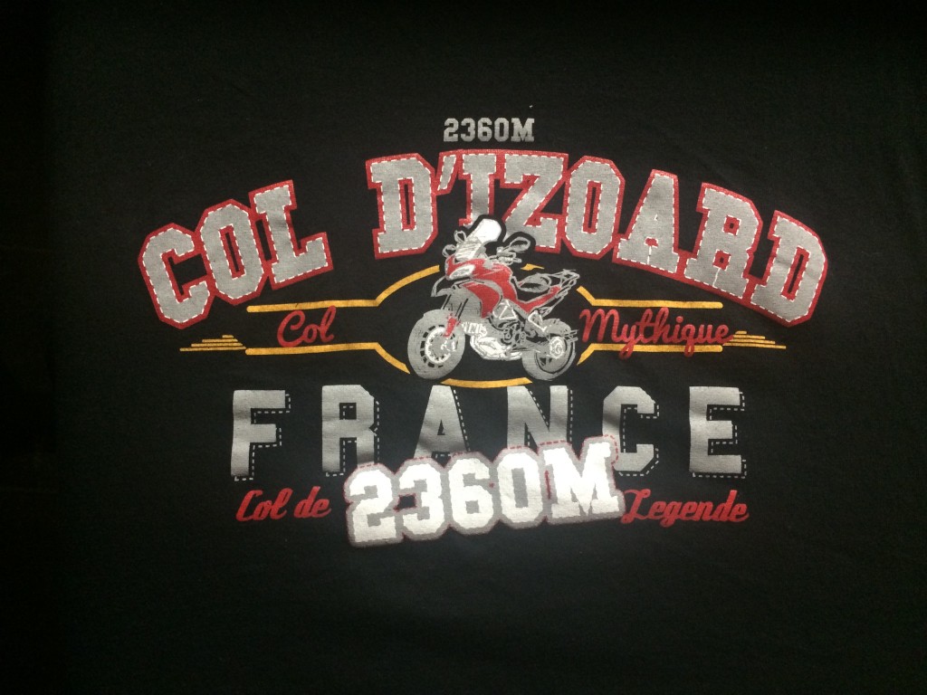
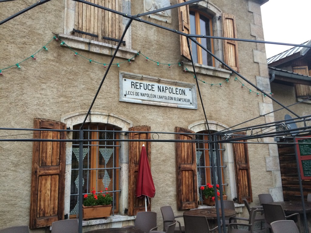
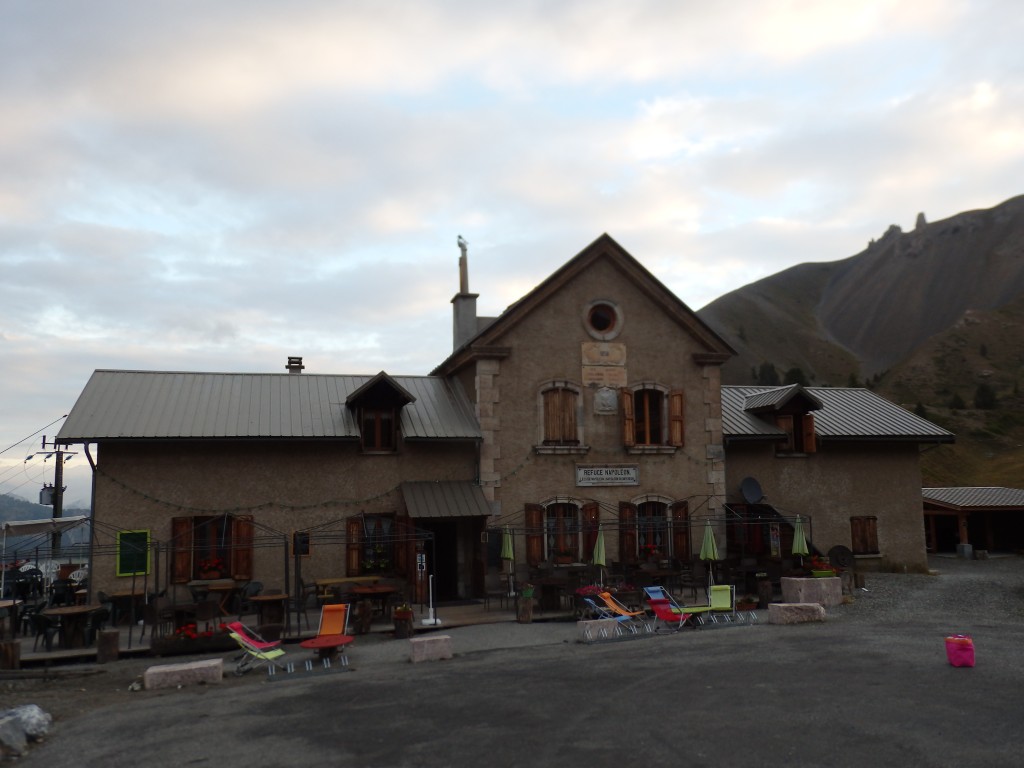
Atop Col d’Izoard, we find one of the three remaining Refùge Napoleon hospices. Originally, six were built by Napoleon III to honor his grandfather’s various trips through southern France and the difficulties he faced in moving troops. The other two are on Col du Vars and Col de Manse. The hospice is in private hands and an overnight includes dinner and breakfast. We get a room that sleeps six. I pick up a tshirt with a motorcycle theme. We put the bikes in the garage and enjoy the beauty. Pass hospices continue to be the accommodation of choice, they offer all that is needed and the prices are great.

IMG_1181

IMG_1176

OLYMPUS DIGITAL CAMERA

OLYMPUS DIGITAL CAMERA

I frequently tell people that the view is very fine from GS Land, the mythical place that I inhabit when I am riding my old yellow GS single, sitting up above the sad little cagers, seeing the world with all of my senses. But if GS Land was actually a place, where would it be? It would be where the roads are questionable, the cows are plentiful, and there is always a little farm road or trail beckoning. The view is not of scenery, per se, but in scenery. A place of great majesty, where history is written in the stones by water and wind. Where every single sense is attacked, confronted with stimuli demanding attention and respect. It is a very good place to be.
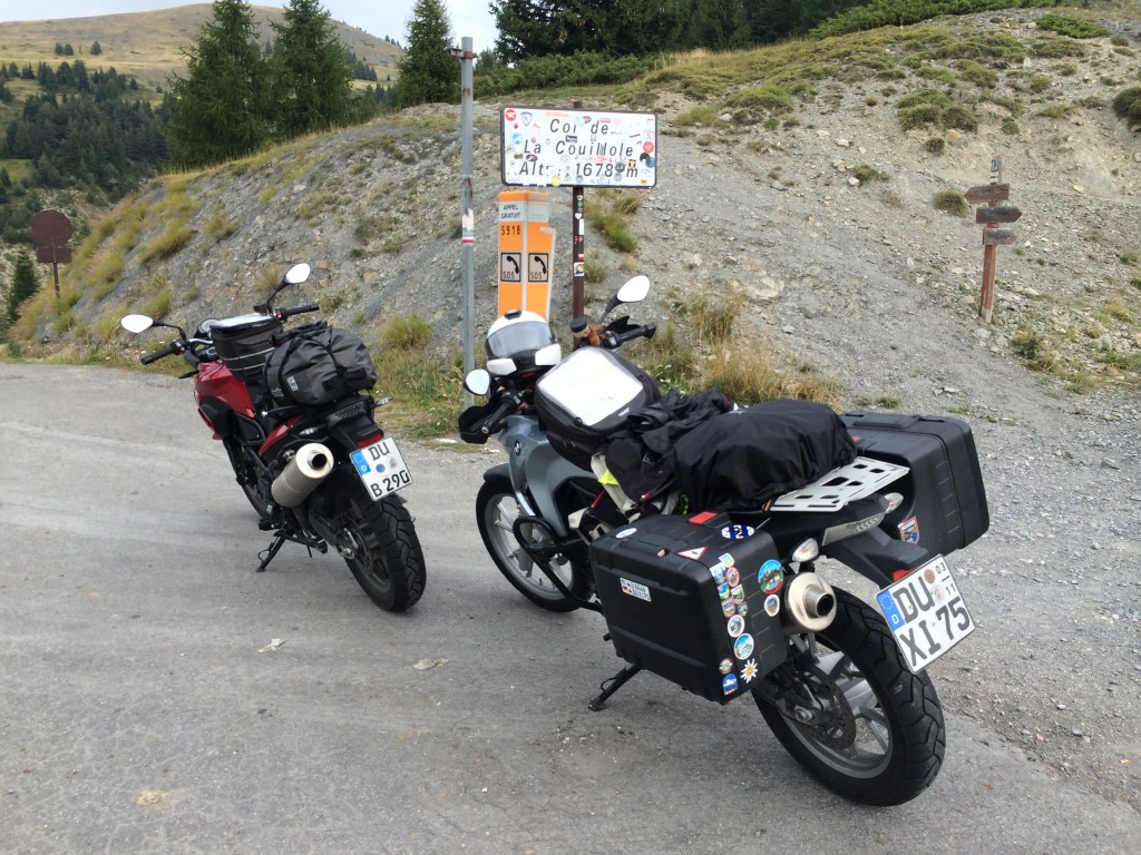
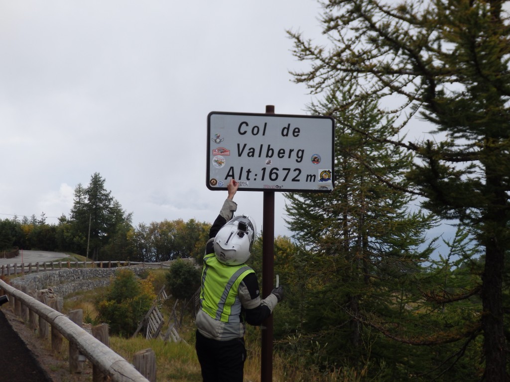
We descend from Turini on the M70, a small road that carries us to La Bollène Vesubie. From there, we ride the M2565 north and west over the Col Saint Martin to Saint Sauveur -sur-Tinée and the M/D30, which takes us over Col de la Couillole. M appears to mean “single lane with cows” and D “double lane with sheep”. From Beuill, we head west on the D28 to Guillaumes, crossing the Col de Valberg, and ride the D2202 south through the Daluis Gorge.

OLYMPUS DIGITAL CAMERA

IMG_1031

IMG_1032

IMG_1039

OLYMPUS DIGITAL CAMERA

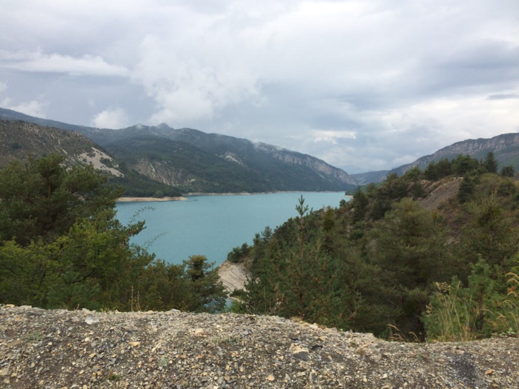
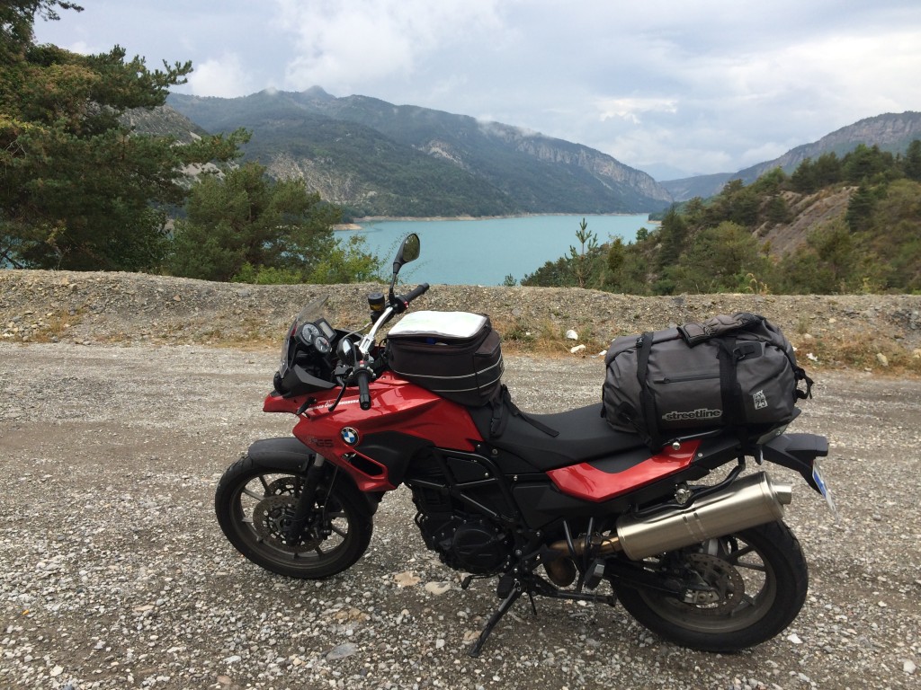
Near Dèchetterie, we pick up the N202 west and cross the Col de Toutes Aures. We continue west to Lac de Castillione , where we pick up the D955 south to Castellane. From Castellane, it is the D4085 south over the Col de Luens and the D6085, the Route de Napoleon. In l’Artuby, we pick up the D21 and begin the proper tour of the Grand Canyon du Verdon, but not before first crossing the Col de Clavel. In Comps-sur-Artuby, we pick up the D71, and in Aiguines, the D19, then the D957. We get separated looking for fuel, and meet up later in Castellane. At the D952, we head east, turning off for the Route des Cretes, the D23.

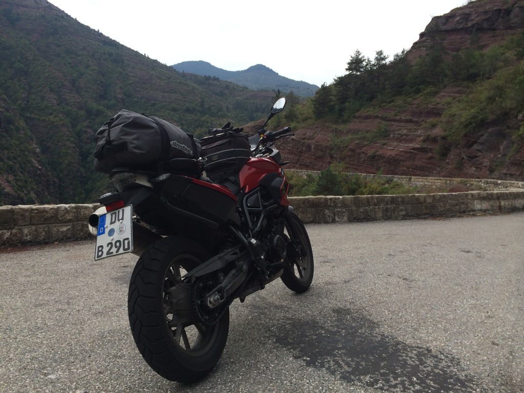
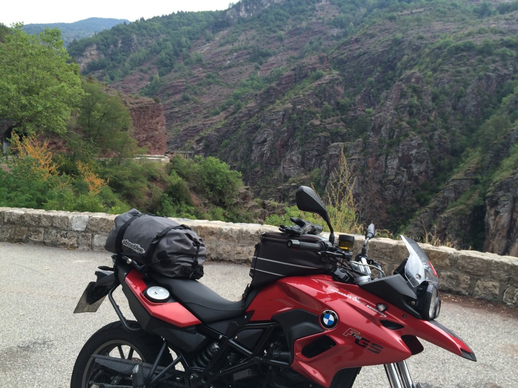
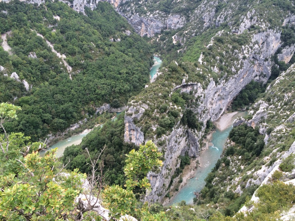
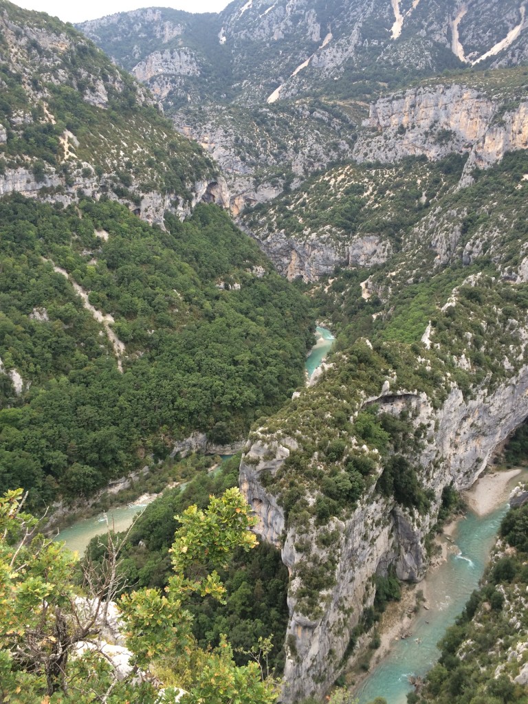
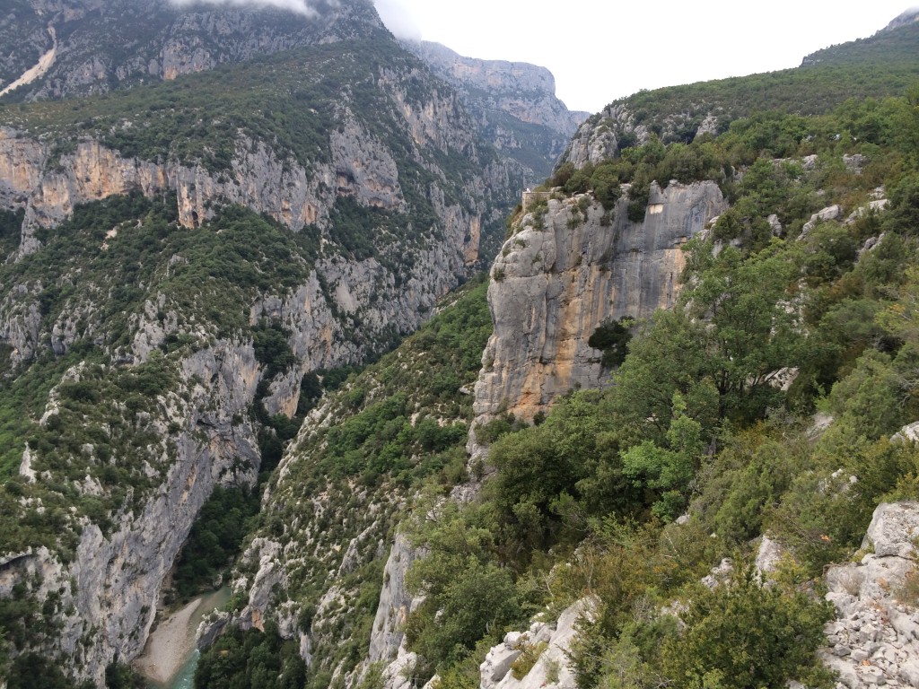
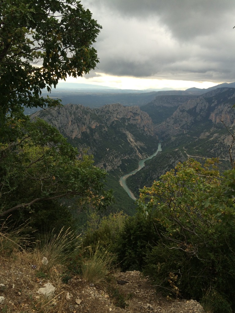
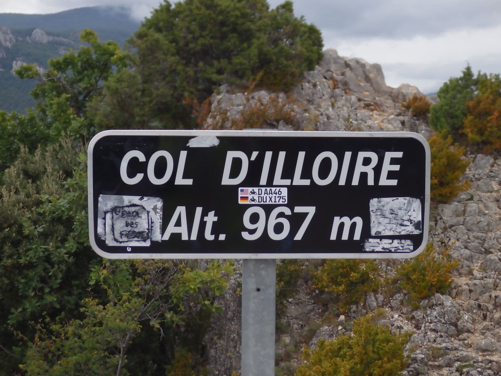
The Grand Canyon du Verdon is a gorge cut through the south of France during the ice ages. Six million years of running water have left lower France scarred and wounded by nature, leaving some of the most beautiful views in the entire country. We ride the left route – Route Gauche – and look into the cavern as we ride. We travel through the Tunnel du Fayet, which will be visible from the other side. We cross the Col d’Illoire and Col d’Olivier near Aiguines. On the right side, we cross the Col d’Ayens, and then ride the Route des Cretes – a loop that takes us around the mountain and looks out over the gorge. The Route des Cretes is very poorly maintained, and for the first half, is one-way. The two-way part is rather tight with motorhomes and other traffic. This is another area that I would consider for multiple trips through in the future. Like Nufenen and Furka, it is difficult to find comparable riding and scenery all in one place.

IMG_1041

IMG_1043

IMG_1046

IMG_1047

IMG_1050

IMG_1051

IMG_1053

OLYMPUS DIGITAL CAMERA

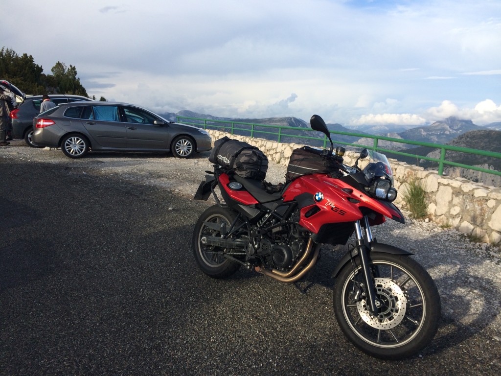
It is on the Route des Cretes that I realize that I have found GS Land. It is the south of France, tucked in between the great gorges and bleating sheep, waiting for someone to visit.

IMG_1060

IMG_1066

IMG_1067

IMG_1069

IMG_1065

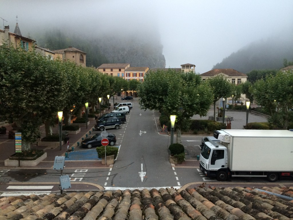
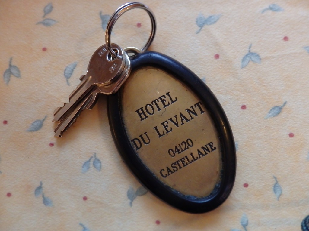
After the Route des Cretes, the road is often covered by overhanging rock. It is breathtakingly beautiful. We follow the D952 back to Castellane and stay at the Grand Hotel du Levant, which is fully renovated inside. The view from the room is of the market place, where I capture some nougat to take home as a prize for my sons. Fog looms menacingly.

IMG_1076

OLYMPUS DIGITAL CAMERA

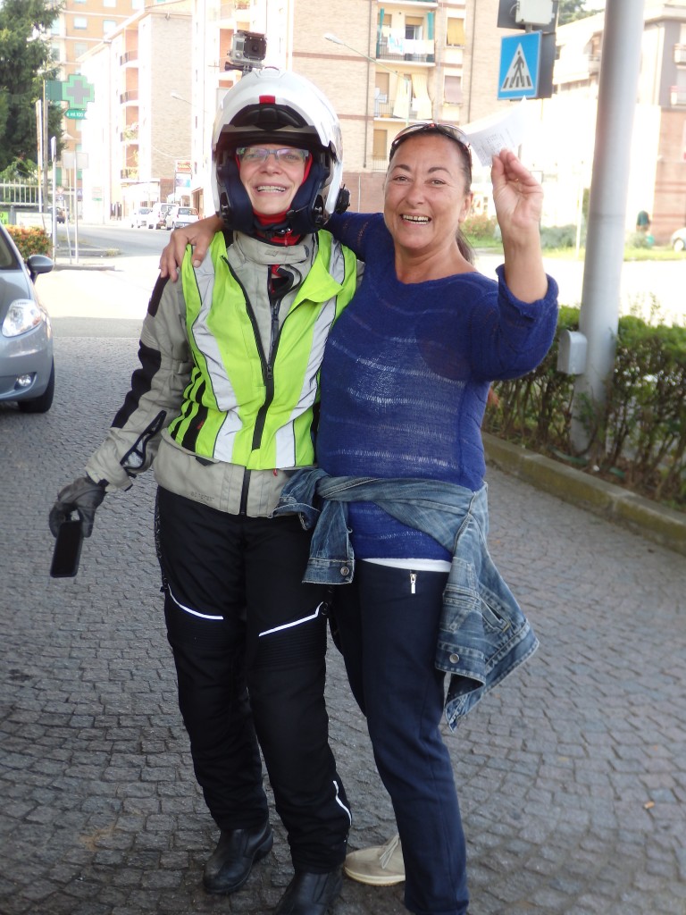
In Novi Ligure, we encounter our old adversary, the Italian automated gas pump. After losing 20€ to a mistaken pump grab, a kind Italian lady offers to buy our credit slip. Then, she makes the same mistake. Oh, Italy….

OLYMPUS DIGITAL CAMERA

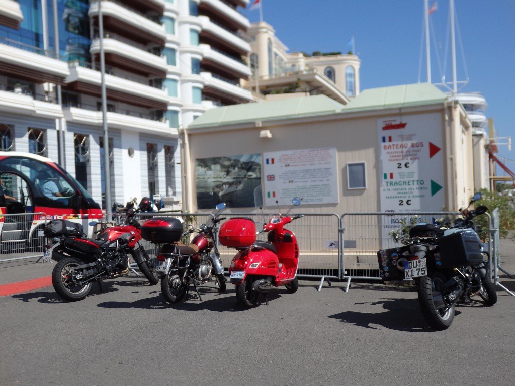
From NoviLigure, we get back on the Autostrada and head further south, eventually picking up the A10 west. We ride through the Italian soap and spice region and everything smells amazing. We stay on the highway until we exit for Monte Carlo, Monaco, which we visit prior to returning to Menton, France, the base point for the Route des Grand Alps. It is a heady ride, we stop at the Monte Carlo beach for a snack and try to find our way up to the palace. Monaco costs us time, but is fun, and crosses another country off the list, no matter how small it is. At this point, I come to the conclusion that my Garmin unit is not broken, but missing maps. Somehow, the set of maps called “Alps” by Garmin and NavTec does not include the Alps Maritimes. Crap.

OLYMPUS DIGITAL CAMERA

We ride back to Menton on the D6007 coastal road, a road I know well from visiting my cousin who has lived in Menton for many years. It is fun to take the turns on a bike instead of fighting them in the car. We stop again in Menton for a proper meal. These old FIAT Pandas pop up everywhere. The Panda was the last car built with flat glass panes instead of modern curved ones and was resold under many nameplates, including SEAT Marabella. I pull out the big map of the Alps, a Freytag 1:500K tablecloth and begin marking up the overview maps I printed using www.gpsvisualizer.com. I have seven segment printed, so I sort out what is missing and mark the appropriate ones with cities, passes, and road numbers.

IMG_1001

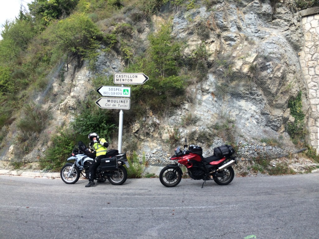
From Menton, we start the climb of the Route des Grand Alps following the Route de Sospel. Sospel is a little hippy artsy town north of Menton and always makes me smile with the people one sees there. We continue on the D2566 north to Col de Turini.

IMG_1005

IMG_1006

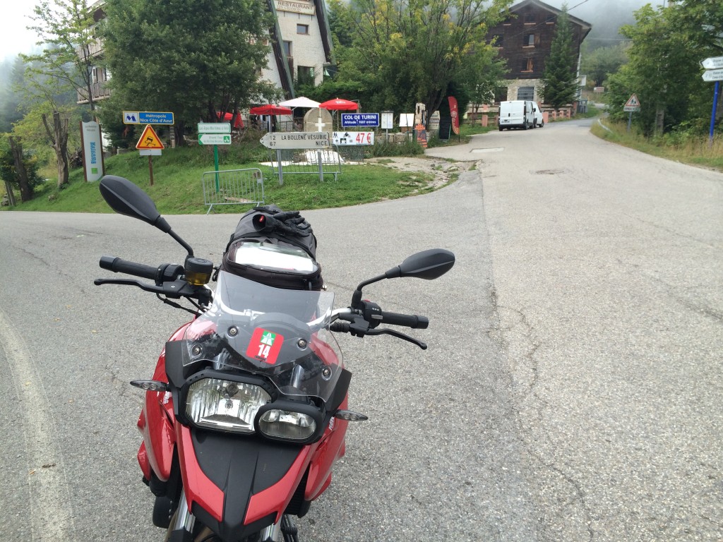
Turini!! Highest point on the Rallye de Monte Carlo! Every bit as cool as it sounds, and slightly terrifying in the process. The road is poorly maintained and narrow, our first taste of what riding in France will largely be like. Far from the commercial passes of the north, the passes in France are more of afterthoughts. Think along the lines of Hey! We built a road over a mountain! How cool is that! Oh, look, those Swiss guys call the top of it a pass! Let’s do that, too! But we have nothing to carry over it except cows, so um, let’s not worry about maintenance. Those silly automated carriages are never going to be used here! All over France, we see what amounts to road ruin.

IMG_1010

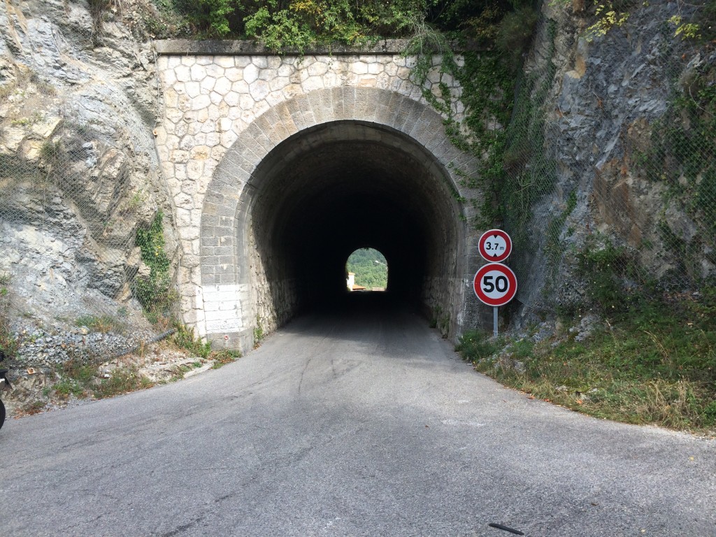
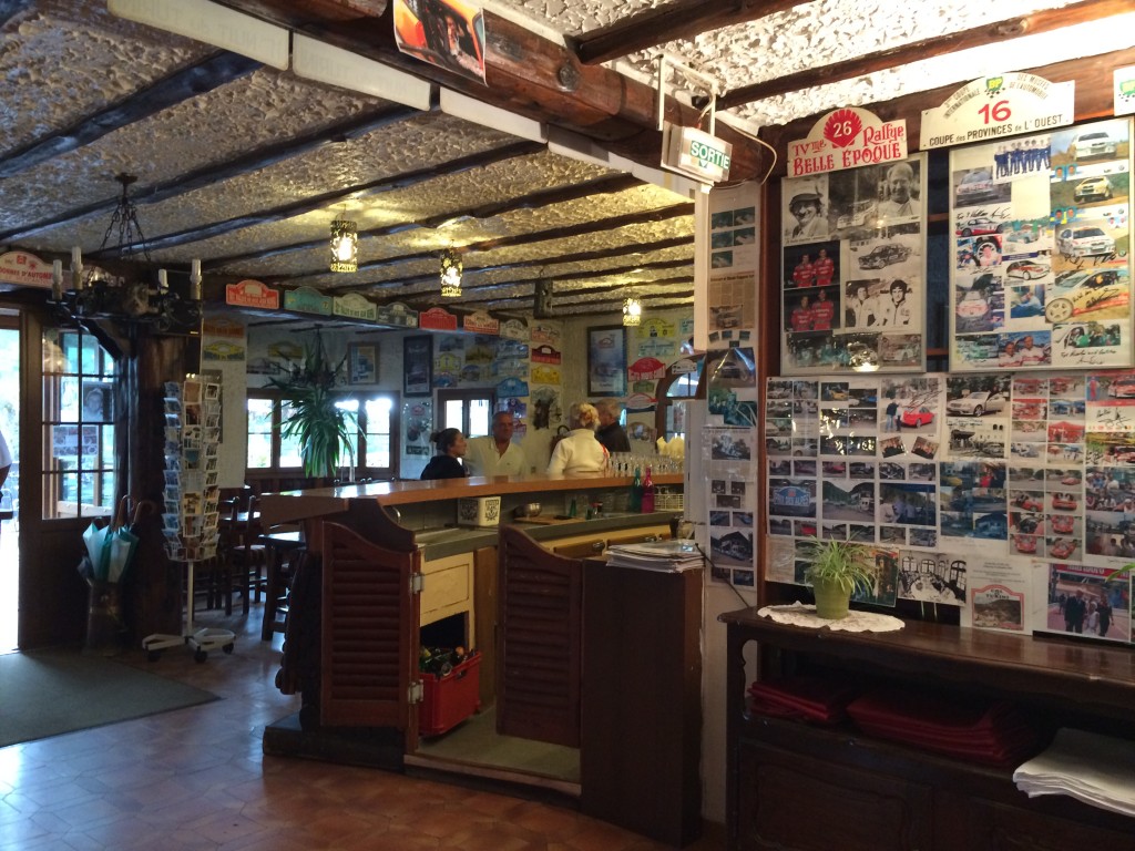
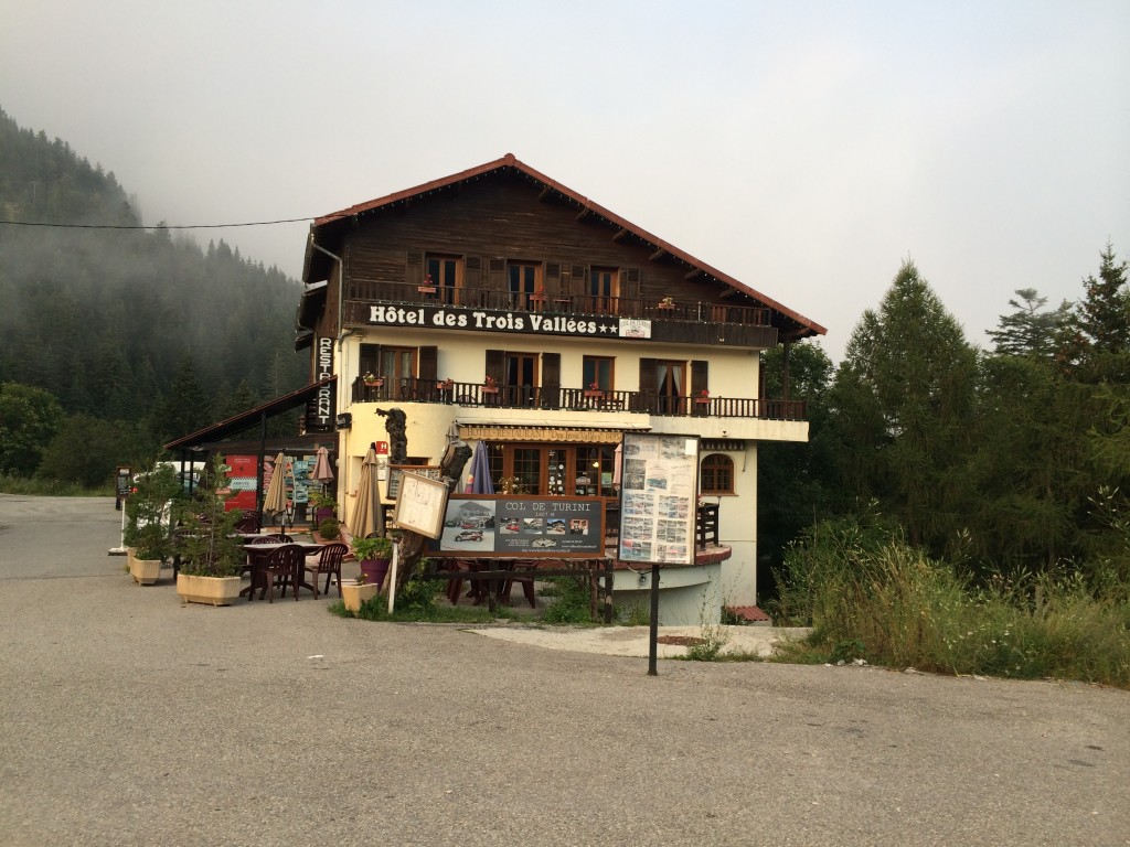
On the way up, we ride through a short tunnel that marks the Col de Castillon. To the left is Col de Braus, but is is getting late and we are unsure if there will be a hostel on the pass or not. There is, the Hotel les Trois Vallees, host of the aforementioned rallye and about one hundred other French driving events. The inside of the hotel is papered with rallye placards and photos of cars and drivers. It is a total rush to be there. Dinner is a welcome piece of salmon with rice and veggies. The room looks southeast, with a small balcony perfect for airing out boots and such. We are not the only riders there, a group of diverse bikes has shown up from Germany, seems like one of everything.

IMG_1015

IMG_1016

IMG_1024

Leaving Wassen, we get a good indicator of the weather we can expect for most of the trip. Sankt Gotthard is called the Weathermaker for a reason – but better said in German – der Unwettermacher. We have more rain. Super.

OLYMPUS DIGITAL CAMERA

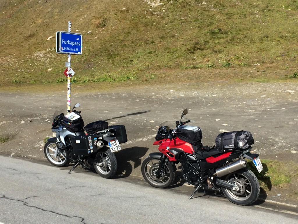
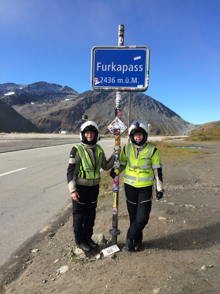
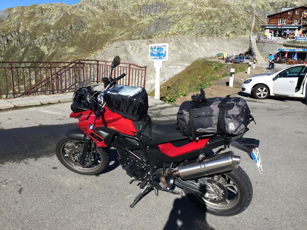
Regardless, it is time to head on over to the Furkapass. Famed for its appearance in Goldfinger, it’s a beat-up, often single-lane stretch that has some truly rewarding views. Armco is completely missing, the only side securements are the electric fences used to keep the sheep and cows off the road. Given a weekend to ride, I would consider riding the loop of Furka, Nufenen, and Sankt Gotthard over and over and over. Three wonderful and unique passes that have a ton to offer any moderately experience rider. Furka brings us up into the clouds again and over the tops, where we are greeted by warm sun.

IMG_0953

IMG_0948

IMG_0956

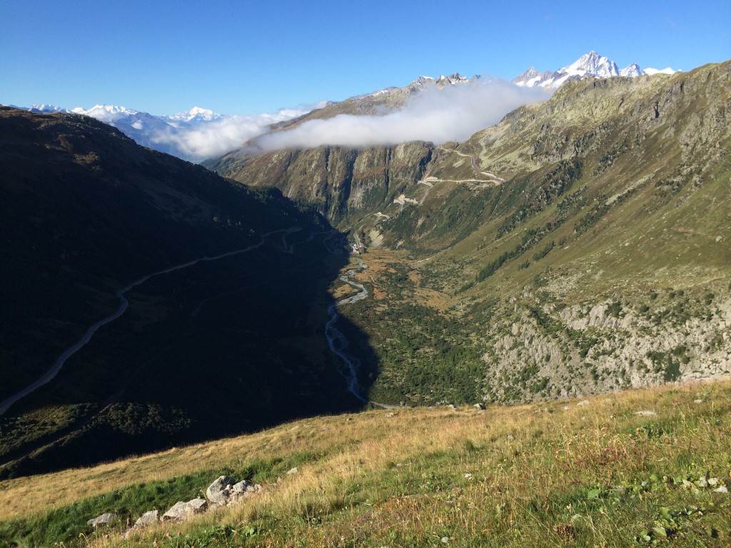
Just as Furka is visible from Grimsel, the curves of Grimsel are visible from Furka. The road to the left is the lower southwest ramp of Furka. On the way down, there is a marker for the Rhonegletscher, one of the sources of the Rhone river. We periodically see the Furkabahn, an old steam cog railway that brings cars and people through the passes.

IMG_0958

IMG_0967

OLYMPUS DIGITAL CAMERA

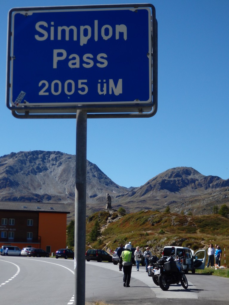
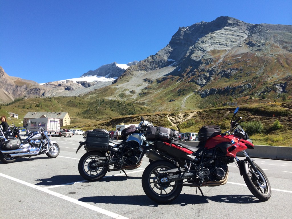
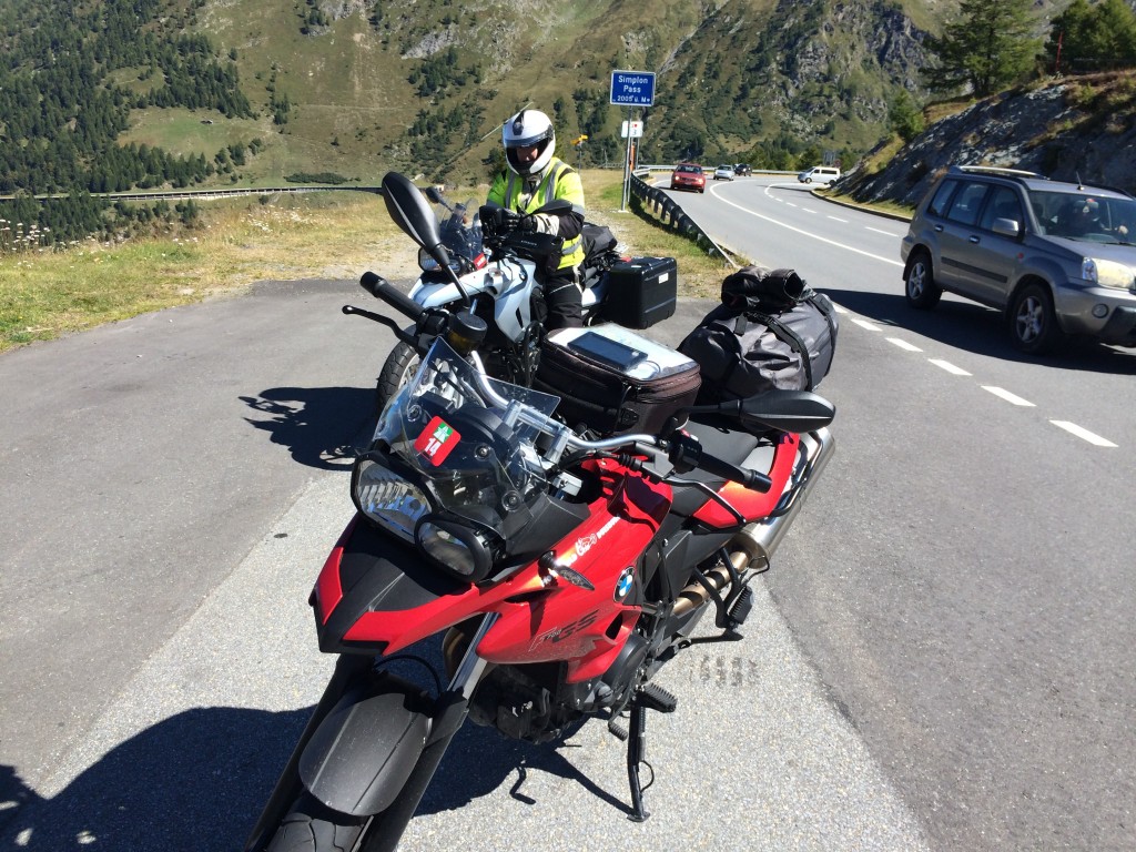
We follow the 19 south to Brig and turn onto the 9, the Simplonstrasse. Agatha Christie’s Murder on the Orient Express takes place on what is actually called the Simplon-Orient Express, a very real train route that brings travelers south to the sunny beaches of Italy. The nearly 20km long Simplon tunnel houses the tracks, along with a rail car service that carries cars and persons through in 20 minutes. Hmmm. Not for us. We have different tunnels to take, the long and elegant avalanche galleries that make up most of the northern ramp of Simplon. We go over the top, again to find sun and warmth. We tuck into our breakfast leftovers for lunch, and then head southward to Domodossola, Italy. Regrettably for me, this will turn into the start of a nagging gut problem that will eventually cost me one and a half riding days and quite a few euros.

IMG_0976

IMG_0983

OLYMPUS DIGITAL CAMERA

IMG_0994

IMG_0998

From Domodossola, we continue south on Italy’s A62 in pursuit of the Italian coastline. Italy’s Autostrada system is well-built, with hundreds of short tunnels to carry traffic easily through the mountains. Tolls are handled with tickets, similar to the usual turnpike ticket in the US. We are both a bit tired and I am puffing up like a balloon from the cheese. We stop for a bit near Praolo so that I can deflate myself. It’s warm and sunny and we are baked like cookies. From there, we head south to Alessandria and Nove Liguri. We find a hotel after some fussing – Italy is not as well-organized as the German-speakers up north are – and a couple of dead ends. The hotel Gambero d’Oro is thankfully open and willing to host two ladies on motorbikes.  Dinner is outstanding northern Italian fare. I have keyed in on milk being an issue, but not yoghurt.

The issue with leaving early is that we have a reservation at a cheap hotel in Wassen, Switzerland for Friday night. I have figured out that we can alter our route to run a loop section of it on Friday, instead of holding out until the planned later point in the trip. This is a big win for us, as we have good weather for the most part and get some of the best passes of the trip in early.

We depart Bad Bellingen on the A5 and cross into Switzerland, purchasing Vignettes at the border. A Vignette is a sticker that shows you have paid the annual toll for riding the highways in the country. For 2014, the Vignette is red and yellow, and features the well-known symbol for the Autobahn. Without it, you are subject to rather impressive fines. 33€ later and we are good to go. A quick stop for fuel and the real game can begin.

OLYMPUS DIGITAL CAMERA

We follow the A2 in Switzerland from Basel down to the Sustenstrasse (11) and begin our first climb.

IMG_0904

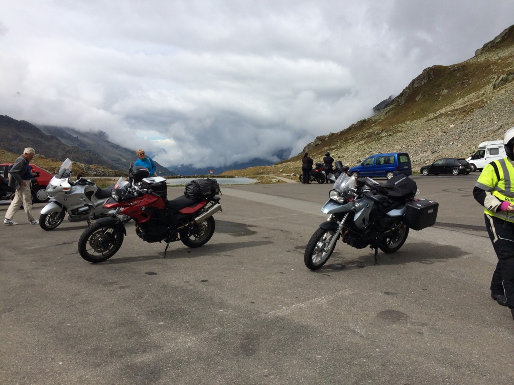
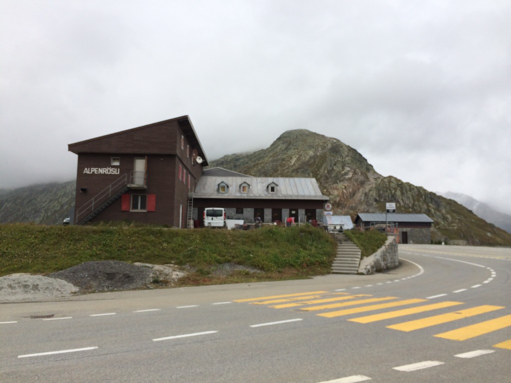
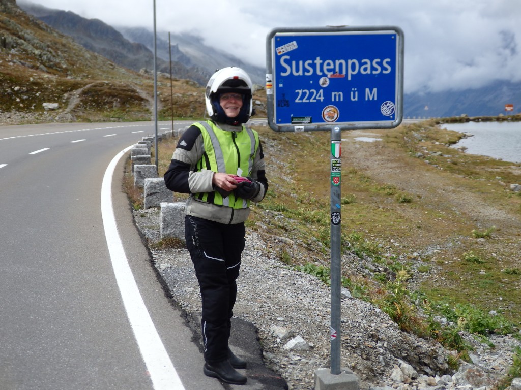
The Sustenpass is a mild, gently curving pass that is a perfect first Alpine pass. It’s one that you can ride to get into the swing of things. It brings you into to the moment with good views and open twisties. To reach the top, we ride up through the ceiling and out on top of the cloud cover, a really unique experience. We have sun on top to augment the lovely views. From there, we swing south on the 6 to ride over the Grimselpass. Grimsel is an old pass with a long commercial history. The kehren, or switchbacks, are stacked in groups and the Furkapass kehren are visible as you descend. The bus traffic is impressive, and we see a fashion photography crew on the descent.

IMG_0911

OLYMPUS DIGITAL CAMERA

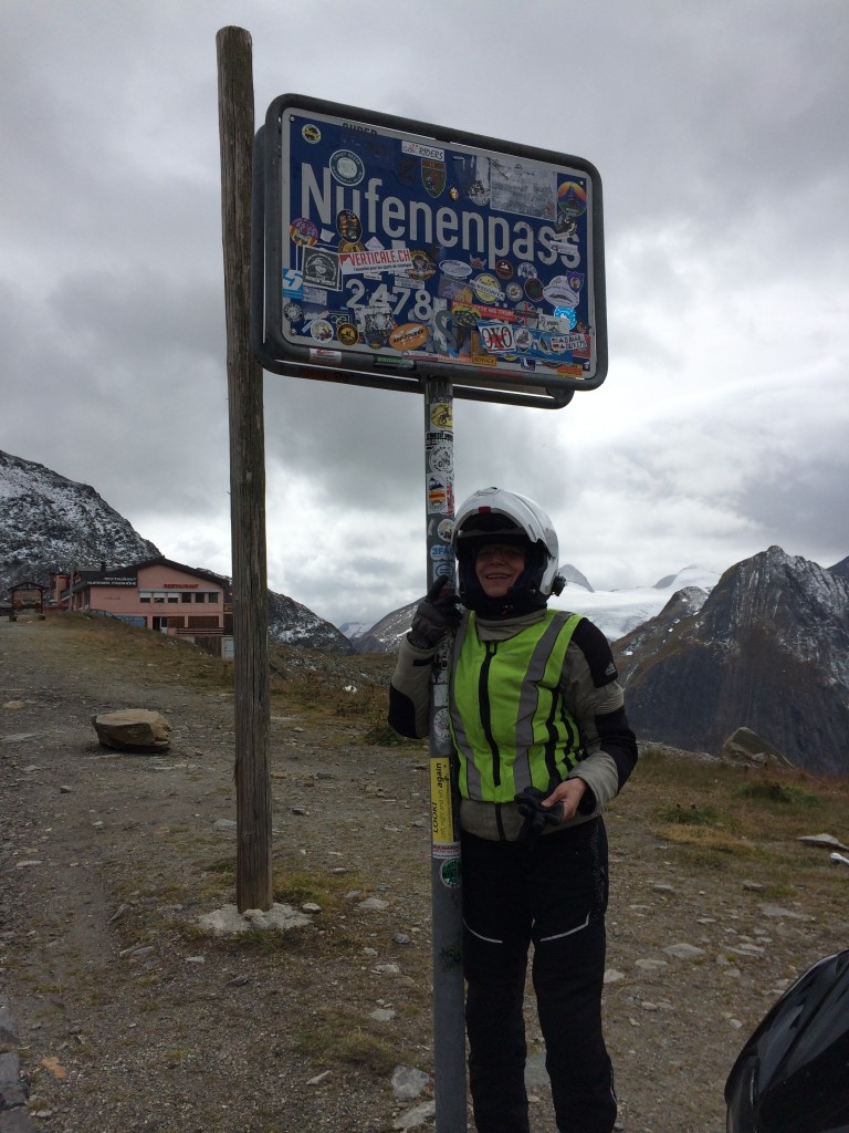
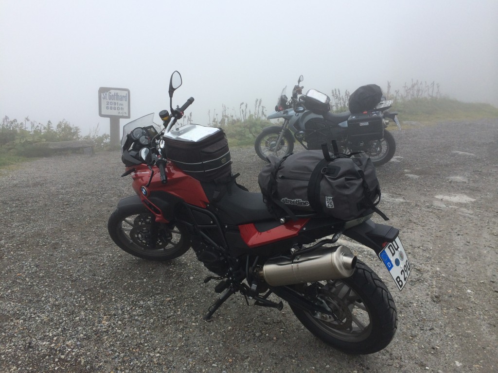
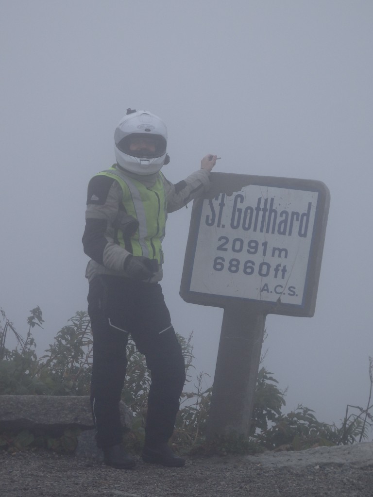
In Ulrichen, we turn off onto the Nufenenstrasse. In truth, this was my personal highlight of the passes we rode. Nufenen is challenging and strong, well-built, but demanding. I love it. The top is once again up in the clouds after we ride up over one layer of clouds to the pass itself. At the western base, we enter Airolo, where one must choose between the new Sankt Gotthard road and the old Via Tremola. A few loops of getting turned around, and we settle onto the Via Tremola, a cobblestone goat path that climbs the side of the mountains. Once again, riding into the clouds, we find nothing but dense cloud cover at the top. So dense that we are not sorry to leave it at all. A note on the Via Tremola – it’s awesome. Definitely technical and would be way more fun on my Sherpa (I mean WAAAAAAY more fun), and all you could ask for from an old historical road. I highly recommend taking it. If you take the new road to the top, you’ll find it’s not particularly curvy and offers none of the challenge that is the purpose of pass-running.

IMG_0923

IMG_0934

OLYMPUS DIGITAL CAMERA

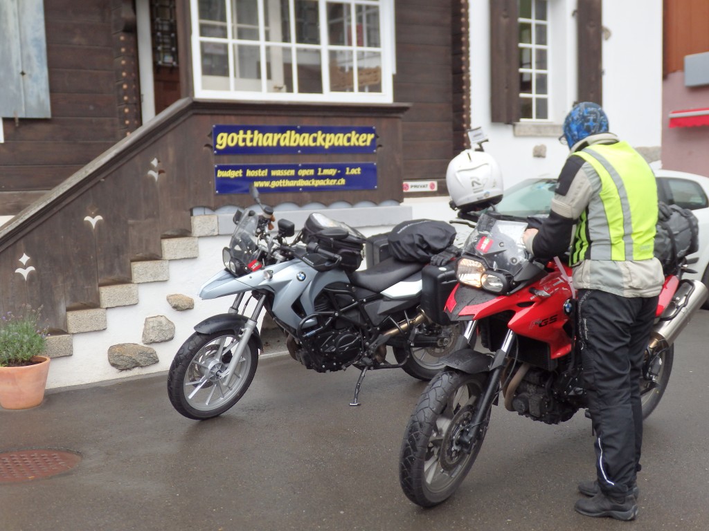
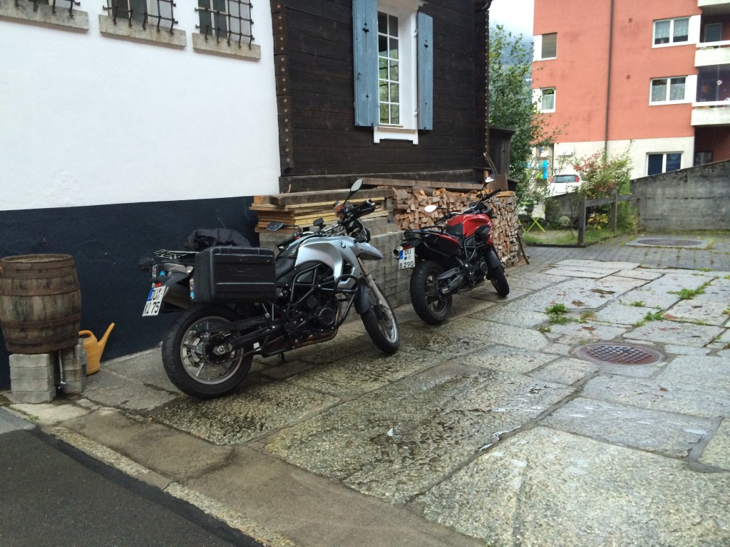
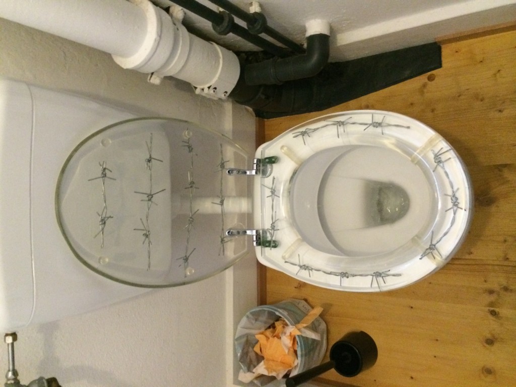
From the Sankt Gotthard, we descend back north into Wassen and stay at the Gotthard Backpacker Hotel, a modestly priced (for Switzerland) hotel with few trimmings, but really nice showers. The barbed wire toilet seat makes me laugh. Soooo Texas…

IMG_0936

IMG_0940

IMG_0943

Tonight, I discover that my riding partner snores loudly. The snack baggie of 3M Tekk plugs looks very good to me when I find it in my tank bag.

This is a theory of mine: the problem with drivers in the US is our road signs: they have too many words on them, and our population’s declining literacy levels are making this a challenge for compliance with the posted placards.

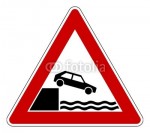
I lived in Germany for  a while, where the Vienna Convention on Road Signs and Signals holds. Vienna describes a group of symbolic signs nearly devoid of text that control the safety aspects of roadway behaviour in the EU and other areas of the world agreeing to the convention. Notable in not agreeing is, of course, the US. I found that after a period of adjustment, the signs were easy to interpret and that I could respond almost instantly to them, because visualization was all that was required. I did not have to process them. Well, “no parking” and “no stopping” took a while to sort out, but hey, who is perfect? By the way, do not drive your Volkswagen Cabriolet off of the dock and into the river. You will likely get wet.

uferschild

A typical Vienna convention sign has a ground color, an accent color, a shape, and a symbol. For example, the speed limit sign is circular (command) with a white ground (information) with a red outer ring (prohibition) and a number in the middle (actual speed limit). A parking area sign is square (informational) with a blue ground (permission or recommendation) and a white P (parking area designation). All of the signs follow a few rules and language independent. Two faves are these, which are actually related.

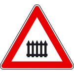
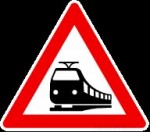
beschrankt  unbeschrankt

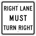
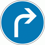
For example, consider the signage on the south side of the intersection of Coolidge Highway and Big Beaver Road in Troy, MI. The right lane must turn right, and is signed as such. Compare this to the Vienna sign, which is a simple blue circle with a white directional turning arrow.

right lane US

US RLMTR road sign

fahrtrichtung rechts

Vienna FRR

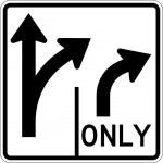
A few of our colleagues have gotten the point, and signs like this one are starting to show up. The arrows require little to no processing to understand, and the only is completely superfluous, likely a throwback to the wordy original.

right lane pictoral us

US Pictoral directional

I could go on at length with comparisons, but I think you already get the picture (pun wholly intended).

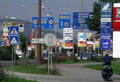
So, why am I bothering about this? My older son is taking his introductory driving course here in MI this month. He’s learning about road signs and such, and he’s noticed the peculiarities of our wordy signage already. One is something the Germans call the “Schilderwald”, or forest of signs. It happens when a large number of signs are erected close together. Examples in the EU are numerous, and typically hilarious as the signs often conflict with each other. It is not unusual to find people taking photos, a non-trivial number of which will be used to contest traffic citations.

Schilderwald schilderwald2

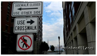
In the US, we persist in using signs with words on them. In English. Imagine a Schilderwald using our signs, and how long it would take to read all of them. The pictograms are enough work! Thankfully, this mess is only for pedestrians, who have time to stop and process it.

crosswalk

So, let me get up on my soapbox here and argue for conversion to the Vienna Convention. It would make life easier, better, and much more fabulous, being that everyone would have a shot at driving sanely, regardless of their literacy level. Imagine a US where everyone can interpret the signs and follow directions. Where even the most distracted texting driver has to only look up from their phablet for half a second to catch the sign, know what it means, and do what it shows. Where reading of road sign text will never more distract anyone from the road, or whatever the heck it is that they are doing on it. Paradise is what it would be.

At the same time, maybe we could finally convert to metric, too? Please? They already have the signs for that made up.

About the two signs at the top, which I playfully call the caterpillar sign and the picket fence sign. The caterpillar sign indicates an ungated railroad crossing. And, you guessed it, the picket fence indicates a gated one.

I read this blog post over on EliteDaily and thought, wow, what an opportunity for some semi-satire…. I decided to stop at the first point, though, because it’s such an incredibly good one.

9. When you try to comprehend sports Pinterest

Seriously. You’re always saying you can’t figure out what we want. Well, Pinterest. Even a cursory trolling of our Pinterest boards will tell you. Pinterest, then shop.

The Pinterest phenomenon is so cool. When I look at my pin board (don’t, it’s boring), I realize that yes, it’s not very big or very girly. But that’s ok, because anyone who wants to know about what I like will quickly discover that the fastest way to my heart is GS parts. Or whole GSs. We post what we like, simple as that. And I like BMW bikes. And VW parts. And watches with carbon fibre bits. And so on. A quick peek at my GFs’ boards shows the same thing – a very clear picture of their hearts’ desires, from hot pink hand-spun alpaca wool to kitschy dolls to AMC body panels. But it’s all there, out in the open.

How guys are missing out on this very clever method of getting to understand what women want is beyond me.